Distance from Kwang Binh to Sa Pa
Distance between Kwang Binh and Sa Pa is 615 kilometers (382 miles).
Driving distance from Kwang Binh to Sa Pa is 816 kilometers (507 miles).
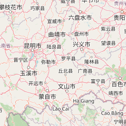
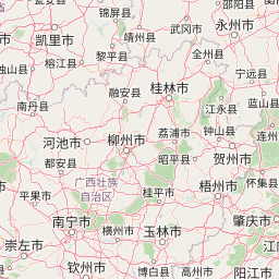
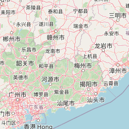
Distance Map Between Kwang Binh and Sa Pa
Kwang Binh, Vietnam ↔ Sa Pa, Lao Cai, Vietnam = 382 miles = 615 km.


How far is it between Kwang Binh and Sa Pá
Kwang Binh is located in Vietnam with (17.4689,106.6223) coordinates and Sa Pa is located in Vietnam with (22.3402,103.8442) coordinates. The calculated flying distance from Kwang Binh to Sa Pa is equal to 382 miles which is equal to 615 km.
If you want to go by car, the driving distance between Kwang Binh and Sa Pa is 815.63 km. If you ride your car with an average speed of 112 kilometers/hour (70 miles/h), travel time will be 07 hours 16 minutes. Please check the avg. speed travel time table on the right for various options.
Difference between fly and go by a car is 201 km.
| City/Place | Latitude and Longitude | GPS Coordinates |
|---|---|---|
| Kwang Binh | 17.4689, 106.6223 | 17° 28´ 7.8600'' N 106° 37´ 20.1360'' E |
| Sa Pa | 22.3402, 103.8442 | 22° 20´ 24.8280'' N 103° 50´ 38.9400'' E |
Estimated Travel Time Between Kwang Binh and Sa Pá
| Average Speed | Travel Time |
|---|---|
| 30 mph (48 km/h) | 16 hours 59 minutes |
| 40 mph (64 km/h) | 12 hours 44 minutes |
| 50 mph (80 km/h) | 10 hours 11 minutes |
| 60 mph (97 km/h) | 08 hours 24 minutes |
| 70 mph (112 km/h) | 07 hours 16 minutes |
| 75 mph (120 km/h) | 06 hours 47 minutes |
Related Distances from Kwang Binh
| Cities | Distance |
|---|---|
| Kwang Binh to Ho Chi Minh City | 1176 km |
| Kwang Binh to Qui Nhon | 618 km |
| Kwang Binh to Thanh Pho Ha Giang | 783 km |
| Kwang Binh to Hue | 166 km |
| Kwang Binh to Hanoi | 503 km |
Related Distances to Sa Pa
| Cities | Distance |
|---|---|
| Hanoi to Sa Pa | 316 km |
| Lao Cai to Sa Pa | 33 km |
| Dien Bien Phu to Sa Pa | 275 km |
| Da Nang to Sa Pa | 1175 km |
| Da Lat to Sa Pa | 1946 km |