Distance from Kyzyl to Semey
Distance between Kyzyl and Semey is 1000 kilometers (621 miles).
Driving distance from Kyzyl to Semey is 1885 kilometers (1171 miles).
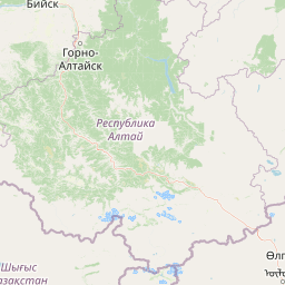
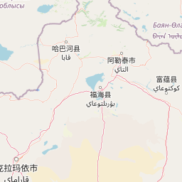
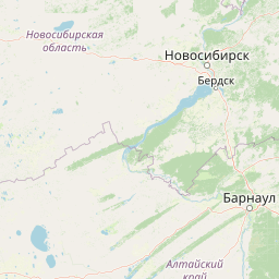
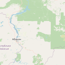
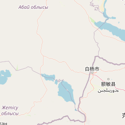
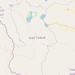
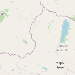
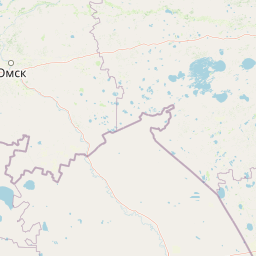
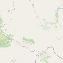
Distance Map Between Kyzyl and Semey
Kyzyl, Russia ↔ Semey, Ust-Kamenogorsk, Kazakhstan = 621 miles = 1000 km.


How far is it between Kyzyl and Semey
Kyzyl is located in Russia with (51.7147,94.4534) coordinates and Semey is located in Kazakhstan with (50.4268,80.2667) coordinates. The calculated flying distance from Kyzyl to Semey is equal to 621 miles which is equal to 1000 km.
If you want to go by car, the driving distance between Kyzyl and Semey is 1884.7 km. If you ride your car with an average speed of 112 kilometers/hour (70 miles/h), travel time will be 16 hours 49 minutes. Please check the avg. speed travel time table on the right for various options.
Difference between fly and go by a car is 885 km.
| City/Place | Latitude and Longitude | GPS Coordinates |
|---|---|---|
| Kyzyl | 51.7147, 94.4534 | 51° 42´ 52.9920'' N 94° 27´ 12.1680'' E |
| Semey | 50.4268, 80.2667 | 50° 25´ 36.3000'' N 80° 16´ 0.0840'' E |
Estimated Travel Time Between Kyzyl and Semey
| Average Speed | Travel Time |
|---|---|
| 30 mph (48 km/h) | 39 hours 15 minutes |
| 40 mph (64 km/h) | 29 hours 26 minutes |
| 50 mph (80 km/h) | 23 hours 33 minutes |
| 60 mph (97 km/h) | 19 hours 25 minutes |
| 70 mph (112 km/h) | 16 hours 49 minutes |
| 75 mph (120 km/h) | 15 hours 42 minutes |
Related Distances from Kyzyl
| Cities | Distance |
|---|---|
| Kyzyl to Almaty | 2504 km |
| Kyzyl to Ust Kamenogorsk | 1401 km |
| Kyzyl to Semey | 1885 km |
| Kyzyl to Pavlodar | 1875 km |
Related Distances to Semey
| Cities | Distance |
|---|---|
| Omsk to Semey | 828 km |
| Ozersk to Semey | 1756 km |
| Novosibirsk to Semey | 679 km |
| Barnaul to Semey | 452 km |
| Chelyabinsk to Semey | 1710 km |