Distance from La Mana to Manaus
Distance between La Mana and Manaus is 2147 kilometers (1334 miles).
Driving distance from La Mana to Manaus is 4765 kilometers (2961 miles).
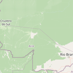
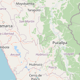
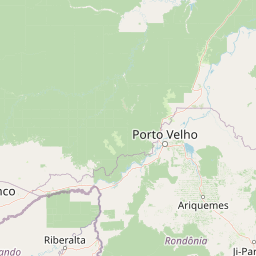
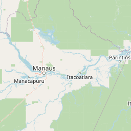
Distance Map Between La Mana and Manaus
La Mana, Latacunga, Ecuador ↔ Manaus, Brazil = 1334 miles = 2147 km.


How far is it between La Maná and Manaus
La Mana is located in Ecuador with (-0.9409,-79.2251) coordinates and Manaus is located in Brazil with (-3.1019,-60.025) coordinates. The calculated flying distance from La Mana to Manaus is equal to 1334 miles which is equal to 2147 km.
If you want to go by car, the driving distance between La Mana and Manaus is 4764.96 km. If you ride your car with an average speed of 112 kilometers/hour (70 miles/h), travel time will be 42 hours 32 minutes. Please check the avg. speed travel time table on the right for various options.
Difference between fly and go by a car is 2618 km.
| City/Place | Latitude and Longitude | GPS Coordinates |
|---|---|---|
| La Mana | -0.9409, -79.2251 | 0° 56´ 27.3840'' S 79° 13´ 30.2160'' W |
| Manaus | -3.1019, -60.025 | 3° 6´ 6.9840'' S 60° 1´ 30.0000'' W |
Estimated Travel Time Between La Maná and Manaus
| Average Speed | Travel Time |
|---|---|
| 30 mph (48 km/h) | 99 hours 16 minutes |
| 40 mph (64 km/h) | 74 hours 27 minutes |
| 50 mph (80 km/h) | 59 hours 33 minutes |
| 60 mph (97 km/h) | 49 hours 07 minutes |
| 70 mph (112 km/h) | 42 hours 32 minutes |
| 75 mph (120 km/h) | 39 hours 42 minutes |
Related Distances to Manaus
| Cities | Distance |
|---|---|
| Puerto Francisco De Orellana to Manaus | 5480 km |
| Guayaquil to Manaus | 4988 km |
| Tena to Manaus | 4355 km |
| Quito to Manaus | 4384 km |
| San Lorenzo De Esmeraldas to Manaus | 4403 km |
| Cayambe to Manaus | 4332 km |
| San Gabriel 2 to Manaus | 4199 km |
| Machala to Manaus | 4810 km |
| Pinas to Manaus | 4782 km |
| Cuenca to Manaus | 4965 km |