Distance from Labo to Shantou
Distance between Labo and Shantou is 1210 kilometers (752 miles).
Distance Map Between Labo and Shantou
Labo, Legaspi, Philippines ↔ Shantou, Guangzhou, China = 752 miles = 1210 km.


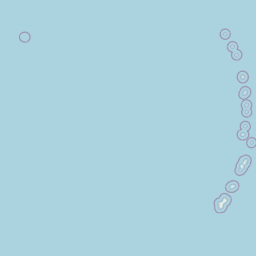


Leaflet | © OpenStreetMap
How far is it between Labo and Shantou
Labo is located in Philippines with (14.1532,122.8303) coordinates and Shantou is located in China with (23.3681,116.7148) coordinates. The calculated flying distance from Labo to Shantou is equal to 752 miles which is equal to 1210 km.
| City/Place | Latitude and Longitude | GPS Coordinates |
|---|---|---|
| Labo | 14.1532, 122.8303 | 14° 9´ 11.5200'' N 122° 49´ 49.0800'' E |
| Shantou | 23.3681, 116.7148 | 23° 22´ 5.3040'' N 116° 42´ 53.2440'' E |
Labo, Legaspi, Philippines
Related Distances from Labo
| Cities | Distance |
|---|---|
| Labo to Naga | 110 km |
| Labo to Sorsogon | 245 km |
| Labo to Mercedes 5 | 22 km |
| Labo to Tabaco | 195 km |
| Labo to Virac | 276 km |
Shantou, Guangzhou, China
Related Distances to Shantou
| Cities | Distance |
|---|---|
| Chaozhou to Shantou | 49 km |
| Jieyang to Shantou | 49 km |
| Dongguan to Shantou | 383 km |
| Meizhou to Shantou | 158 km |
| Foshan to Shantou | 463 km |