Distance from Ladnun to Sojat
Distance between Ladnun and Sojat is 205 kilometers (128 miles).
Driving distance from Ladnun to Sojat is 310 kilometers (193 miles).
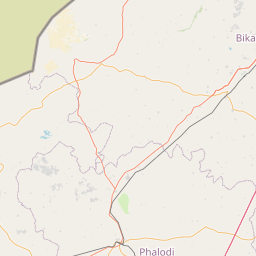
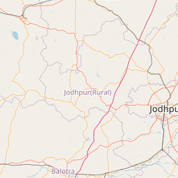
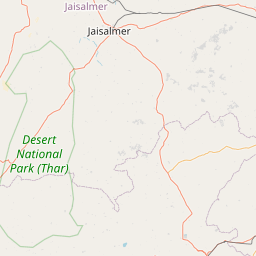
Distance Map Between Ladnun and Sojat
Ladnun, Jaipur, India ↔ Sojat, Jaipur, India = 128 miles = 205 km.


How far is it between Lādnūn and Sojat
Ladnun is located in India with (27.6531,74.3999) coordinates and Sojat is located in India with (25.9249,73.6663) coordinates. The calculated flying distance from Ladnun to Sojat is equal to 128 miles which is equal to 205 km.
If you want to go by car, the driving distance between Ladnun and Sojat is 309.82 km. If you ride your car with an average speed of 112 kilometers/hour (70 miles/h), travel time will be 02 hours 45 minutes. Please check the avg. speed travel time table on the right for various options.
Difference between fly and go by a car is 105 km.
| City/Place | Latitude and Longitude | GPS Coordinates |
|---|---|---|
| Ladnun | 27.6531, 74.3999 | 27° 39´ 11.2320'' N 74° 23´ 59.7480'' E |
| Sojat | 25.9249, 73.6663 | 25° 55´ 29.7480'' N 73° 39´ 58.7880'' E |
Estimated Travel Time Between Lādnūn and Sojat
| Average Speed | Travel Time |
|---|---|
| 30 mph (48 km/h) | 06 hours 27 minutes |
| 40 mph (64 km/h) | 04 hours 50 minutes |
| 50 mph (80 km/h) | 03 hours 52 minutes |
| 60 mph (97 km/h) | 03 hours 11 minutes |
| 70 mph (112 km/h) | 02 hours 45 minutes |
| 75 mph (120 km/h) | 02 hours 34 minutes |
Related Distances from Ladnun
| Cities | Distance |
|---|---|
| Ladnun to Sikar | 90 km |
| Ladnun to Nagaur | 91 km |
| Ladnun to Sujangarh | 11 km |
| Ladnun to Ratangarh | 63 km |
| Ladnun to Sardarshahr | 109 km |
Related Distances to Sojat
| Cities | Distance |
|---|---|
| Pali to Sojat | 40 km |
| Jodhpur to Sojat | 115 km |
| Bilara to Sojat | 31 km |
| Jaitaran to Sojat | 51 km |
| Sirohi to Sojat | 152 km |