Distance from Lahore to Disa
Distance between Lahore and Disa is 838 kilometers (521 miles).
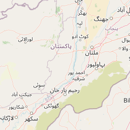
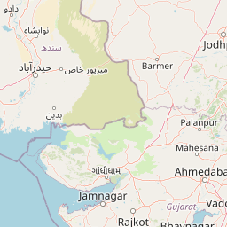
Distance Map Between Lahore and Disa
Lahore, Pakistan ↔ Disa, Ghandinagar, India = 521 miles = 838 km.


Leaflet | © OpenStreetMap
How far is it between Lahore and Dīsa
Lahore is located in Pakistan with (31.5497,74.3436) coordinates and Disa is located in India with (24.2561,72.1793) coordinates. The calculated flying distance from Lahore to Disa is equal to 521 miles which is equal to 838 km.
| City/Place | Latitude and Longitude | GPS Coordinates |
|---|---|---|
| Lahore | 31.5497, 74.3436 | 31° 32´ 58.9920'' N 74° 20´ 36.9960'' E |
| Disa | 24.2561, 72.1793 | 24° 15´ 22.0320'' N 72° 10´ 45.4080'' E |
Lahore, Pakistan
Related Distances from Lahore
| Cities | Distance |
|---|---|
| Lahore to Delhi | 5044 km |
| Lahore to New Delhi | 5040 km |
| Lahore to Hyderabad | 5749 km |
| Lahore to Kartarpur | 6359 km |
| Lahore to Chandigarh | 5104 km |