Distance from Laiwu to Nanding
Distance between Laiwu and Nanding is 71 kilometers (44 miles).
Driving distance from Laiwu to Nanding is 97 kilometers (60 miles).
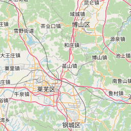
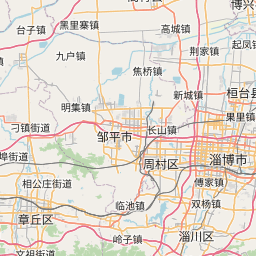
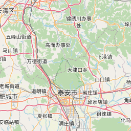
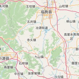
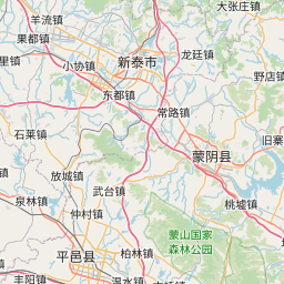
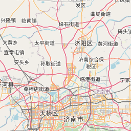
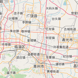
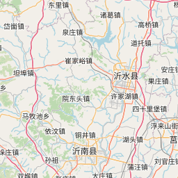
Distance Map Between Laiwu and Nanding
Laiwu, Jinan, China ↔ Nanding, Jinan, China = 44 miles = 71 km.


How far is it between Laiwu and Nanding
Laiwu is located in China with (36.1928,117.6569) coordinates and Nanding is located in China with (36.7483,118.0558) coordinates. The calculated flying distance from Laiwu to Nanding is equal to 44 miles which is equal to 71 km.
If you want to go by car, the driving distance between Laiwu and Nanding is 96.68 km. If you ride your car with an average speed of 112 kilometers/hour (70 miles/h), travel time will be 00 hours 51 minutes. Please check the avg. speed travel time table on the right for various options.
Difference between fly and go by a car is 26 km.
| City/Place | Latitude and Longitude | GPS Coordinates |
|---|---|---|
| Laiwu | 36.1928, 117.6569 | 36° 11´ 34.0080'' N 117° 39´ 24.9840'' E |
| Nanding | 36.7483, 118.0558 | 36° 44´ 53.9880'' N 118° 3´ 20.9880'' E |
Estimated Travel Time Between Laiwu and Nanding
| Average Speed | Travel Time |
|---|---|
| 30 mph (48 km/h) | 02 hours 00 minutes |
| 40 mph (64 km/h) | 01 hours 30 minutes |
| 50 mph (80 km/h) | 01 hours 12 minutes |
| 60 mph (97 km/h) | 00 hours 59 minutes |
| 70 mph (112 km/h) | 00 hours 51 minutes |
| 75 mph (120 km/h) | 00 hours 48 minutes |
Related Distances from Laiwu
| Cities | Distance |
|---|---|
| Laiwu to Qingdao | 283 km |
| Laiwu to Tai An | 52 km |
| Laiwu to Zibo | 92 km |
| Laiwu to Nanding | 97 km |
| Laiwu to Nanma | 60 km |
Related Distances to Nanding
| Cities | Distance |
|---|---|
| Laiwu to Nanding | 97 km |
| Binzhou to Nanding | 90 km |
| Anqiu to Nanding | 167 km |
| Longgang to Nanding | 285 km |
| Jiehu to Nanding | 221 km |