Distance from Lakeland to Boca Raton
Distance between Lakeland and Boca Raton is 263 kilometers (163 miles).
Driving distance from Lakeland to Boca Raton is 314 kilometers (195 miles).
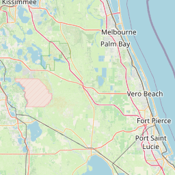
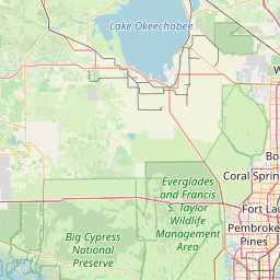
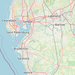
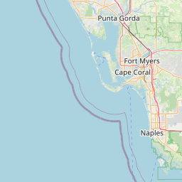
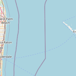
Distance Map Between Lakeland and Boca Raton
Lakeland, Tallahassee, United States ↔ Boca Raton, Tallahassee, United States = 163 miles = 263 km.


How far is it between Lakeland and Boca Raton
Lakeland is located in United States with (28.0395,-81.9498) coordinates and Boca Raton is located in United States with (26.3587,-80.0831) coordinates. The calculated flying distance from Lakeland to Boca Raton is equal to 163 miles which is equal to 263 km.
If you want to go by car, the driving distance between Lakeland and Boca Raton is 313.67 km. If you ride your car with an average speed of 112 kilometers/hour (70 miles/h), travel time will be 02 hours 48 minutes. Please check the avg. speed travel time table on the right for various options.
Difference between fly and go by a car is 51 km.
| City/Place | Latitude and Longitude | GPS Coordinates |
|---|---|---|
| Lakeland | 28.0395, -81.9498 | 28° 2´ 22.0920'' N 81° 56´ 59.2800'' W |
| Boca Raton | 26.3587, -80.0831 | 26° 21´ 31.2840'' N 80° 4´ 59.1600'' W |
Estimated Travel Time Between Lakeland and Boca Raton
| Average Speed | Travel Time |
|---|---|
| 30 mph (48 km/h) | 06 hours 32 minutes |
| 40 mph (64 km/h) | 04 hours 54 minutes |
| 50 mph (80 km/h) | 03 hours 55 minutes |
| 60 mph (97 km/h) | 03 hours 14 minutes |
| 70 mph (112 km/h) | 02 hours 48 minutes |
| 75 mph (120 km/h) | 02 hours 36 minutes |
Related Distances from Lakeland
| Cities | Distance |
|---|---|
| Lakeland to Kissimmee | 77 km |
| Lakeland to Gainesville | 196 km |
| Lakeland to Clearwater | 92 km |
| Lakeland to Bartow | 20 km |
| Lakeland to Fort Lauderdale | 343 km |
Related Distances to Boca Raton
| Cities | Distance |
|---|---|
| Fort Lauderdale to Boca Raton | 33 km |
| Jupiter to Boca Raton | 69 km |
| Miami to Boca Raton | 73 km |
| West Palm Beach to Boca Raton | 45 km |
| Pompano Beach to Boca Raton | 20 km |