Distance from Lambare to Iacu
Distance between Lambare and Iacu is 2297 kilometers (1427 miles).
Driving distance from Lambare to Iacu is 2909 kilometers (1808 miles).
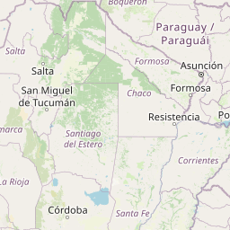
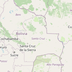
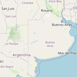
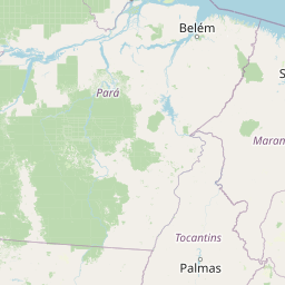
Distance Map Between Lambare and Iacu
Lambare, , Paraguay ↔ Iacu, Salvador, Brazil = 1427 miles = 2297 km.


How far is it between Lambaré and Iaçu
Lambare is located in Paraguay with (-25.3468,-57.6065) coordinates and Iacu is located in Brazil with (-12.7672,-40.2117) coordinates. The calculated flying distance from Lambare to Iacu is equal to 1427 miles which is equal to 2297 km.
If you want to go by car, the driving distance between Lambare and Iacu is 2909.26 km. If you ride your car with an average speed of 112 kilometers/hour (70 miles/h), travel time will be 25 hours 58 minutes. Please check the avg. speed travel time table on the right for various options.
Difference between fly and go by a car is 612 km.
| City/Place | Latitude and Longitude | GPS Coordinates |
|---|---|---|
| Lambare | -25.3468, -57.6065 | 25° 20´ 48.5520'' S 57° 36´ 23.2920'' W |
| Iacu | -12.7672, -40.2117 | 12° 46´ 1.9920'' S 40° 12´ 42.0120'' W |
Estimated Travel Time Between Lambaré and Iaçu
| Average Speed | Travel Time |
|---|---|
| 30 mph (48 km/h) | 60 hours 36 minutes |
| 40 mph (64 km/h) | 45 hours 27 minutes |
| 50 mph (80 km/h) | 36 hours 21 minutes |
| 60 mph (97 km/h) | 29 hours 59 minutes |
| 70 mph (112 km/h) | 25 hours 58 minutes |
| 75 mph (120 km/h) | 24 hours 14 minutes |
Related Distances from Lambare
| Cities | Distance |
|---|---|
| Lambare to Ribeira Do Pombal | 3182 km |
| Lambare to Rio De Janeiro | 1783 km |
| Lambare to Brasilia | 1836 km |
| Lambare to Salvador | 3103 km |
| Lambare to Jaguaquara | 2701 km |
Related Distances to Iacu
| Cities | Distance |
|---|---|
| Nemby to Iacu | 2878 km |
| Caaguazu to Iacu | 2727 km |
| Villa Hayes to Iacu | 2870 km |
| Ciudad Del Este to Iacu | 2638 km |
| Limpio to Iacu | 3056 km |