Distance from Lambare to Marica
Distance between Lambare and Marica is 1524 kilometers (947 miles).
Driving distance from Lambare to Marica is 1831 kilometers (1138 miles).
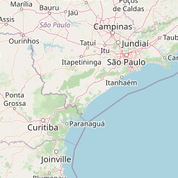
Distance Map Between Lambare and Marica
Lambare, , Paraguay ↔ Marica, Rio de Janeiro, Brazil = 947 miles = 1524 km.


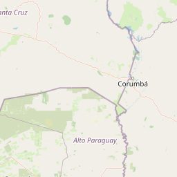


How far is it between Lambaré and Maricá
Lambare is located in Paraguay with (-25.3468,-57.6065) coordinates and Marica is located in Brazil with (-22.9194,-42.8186) coordinates. The calculated flying distance from Lambare to Marica is equal to 947 miles which is equal to 1524 km.
If you want to go by car, the driving distance between Lambare and Marica is 1830.77 km. If you ride your car with an average speed of 112 kilometers/hour (70 miles/h), travel time will be 16 hours 20 minutes. Please check the avg. speed travel time table on the right for various options.
Difference between fly and go by a car is 307 km.
| City/Place | Latitude and Longitude | GPS Coordinates |
|---|---|---|
| Lambare | -25.3468, -57.6065 | 25° 20´ 48.5520'' S 57° 36´ 23.2920'' W |
| Marica | -22.9194, -42.8186 | 22° 55´ 9.9840'' S 42° 49´ 6.9960'' W |
Estimated Travel Time Between Lambaré and Maricá
| Average Speed | Travel Time |
|---|---|
| 30 mph (48 km/h) | 38 hours 08 minutes |
| 40 mph (64 km/h) | 28 hours 36 minutes |
| 50 mph (80 km/h) | 22 hours 53 minutes |
| 60 mph (97 km/h) | 18 hours 52 minutes |
| 70 mph (112 km/h) | 16 hours 20 minutes |
| 75 mph (120 km/h) | 15 hours 15 minutes |
Related Distances from Lambare
| Cities | Distance |
|---|---|
| Lambare to Ribeira Do Pombal | 3182 km |
| Lambare to Rio De Janeiro | 1783 km |
| Lambare to Brasilia | 1836 km |
| Lambare to Salvador | 3103 km |
| Lambare to Jaguaquara | 2701 km |
Related Distances to Marica
| Cities | Distance |
|---|---|
| Ciudad Del Este to Marica | 1532 km |
| San Lorenzo to Marica | 1828 km |
| Asuncion to Marica | 1823 km |
| Fernando De La Mora to Marica | 1824 km |
| Capiata to Marica | 1840 km |