Distance from Landshut to Selb
Distance between Landshut and Selb is 182 kilometers (113 miles).
Driving distance from Landshut to Selb is 210 kilometers (130 miles).
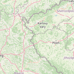
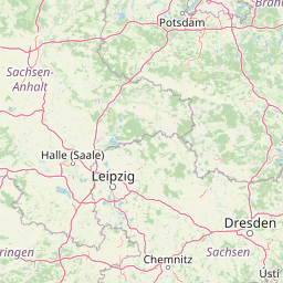
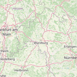
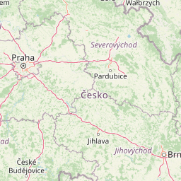
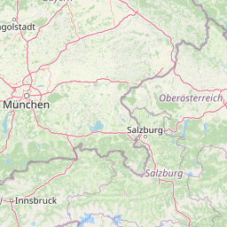
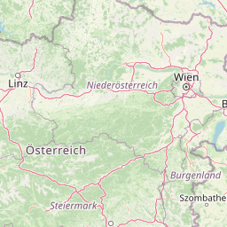
Distance Map Between Landshut and Selb
Landshut, Munich, Germany ↔ Selb, Munich, Germany = 113 miles = 182 km.


How far is it between Landshut and Selb
Landshut is located in Germany with (48.5296,12.1618) coordinates and Selb is located in Germany with (50.1706,12.1305) coordinates. The calculated flying distance from Landshut to Selb is equal to 113 miles which is equal to 182 km.
If you want to go by car, the driving distance between Landshut and Selb is 209.96 km. If you ride your car with an average speed of 112 kilometers/hour (70 miles/h), travel time will be 01 hours 52 minutes. Please check the avg. speed travel time table on the right for various options.
Difference between fly and go by a car is 28 km.
| City/Place | Latitude and Longitude | GPS Coordinates |
|---|---|---|
| Landshut | 48.5296, 12.1618 | 48° 31´ 46.5960'' N 12° 9´ 42.4440'' E |
| Selb | 50.1706, 12.1305 | 50° 10´ 14.0880'' N 12° 7´ 49.9440'' E |
Estimated Travel Time Between Landshut and Selb
| Average Speed | Travel Time |
|---|---|
| 30 mph (48 km/h) | 04 hours 22 minutes |
| 40 mph (64 km/h) | 03 hours 16 minutes |
| 50 mph (80 km/h) | 02 hours 37 minutes |
| 60 mph (97 km/h) | 02 hours 09 minutes |
| 70 mph (112 km/h) | 01 hours 52 minutes |
| 75 mph (120 km/h) | 01 hours 44 minutes |
Related Distances from Landshut
| Cities | Distance |
|---|---|
| Landshut to Regensburg | 70 km |
| Landshut to Memmingen | 180 km |
| Landshut to Passau | 123 km |
| Landshut to Nuernberg | 164 km |
| Landshut to Rosenheim | 91 km |
Related Distances to Selb
| Cities | Distance |
|---|---|
| Hof to Selb | 28 km |
| Furth to Selb | 165 km |
| Bamberg to Selb | 146 km |
| Nuernberg to Selb | 184 km |
| Augsburg to Selb | 290 km |