Distance from Lansing to Carol Stream
Distance between Lansing and Carol Stream is 63 kilometers (39 miles).
Driving distance from Lansing to Carol Stream is 82 kilometers (51 miles).
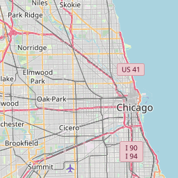
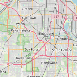
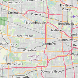
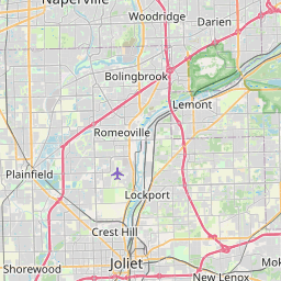
Distance Map Between Lansing and Carol Stream
Lansing, Springfield, United States ↔ Carol Stream, Springfield, United States = 39 miles = 63 km.


How far is it between Lansing and Carol Stream
Lansing is located in United States with (41.5648,-87.5389) coordinates and Carol Stream is located in United States with (41.9125,-88.1348) coordinates. The calculated flying distance from Lansing to Carol Stream is equal to 39 miles which is equal to 63 km.
If you want to go by car, the driving distance between Lansing and Carol Stream is 81.76 km. If you ride your car with an average speed of 112 kilometers/hour (70 miles/h), travel time will be 00 hours 43 minutes. Please check the avg. speed travel time table on the right for various options.
Difference between fly and go by a car is 19 km.
| City/Place | Latitude and Longitude | GPS Coordinates |
|---|---|---|
| Lansing | 41.5648, -87.5389 | 41° 33´ 53.1360'' N 87° 32´ 20.1480'' W |
| Carol Stream | 41.9125, -88.1348 | 41° 54´ 45.1080'' N 88° 8´ 5.2440'' W |
Estimated Travel Time Between Lansing and Carol Stream
| Average Speed | Travel Time |
|---|---|
| 30 mph (48 km/h) | 01 hours 42 minutes |
| 40 mph (64 km/h) | 01 hours 16 minutes |
| 50 mph (80 km/h) | 01 hours 01 minutes |
| 60 mph (97 km/h) | 00 hours 50 minutes |
| 70 mph (112 km/h) | 00 hours 43 minutes |
| 75 mph (120 km/h) | 00 hours 40 minutes |
Related Distances from Lansing
| Cities | Distance |
|---|---|
| Lansing 2 to Chicago | 41 km |
| Lansing 2 to Cicero | 52 km |
| Lansing 2 to Bolingbrook | 65 km |
| Lansing 2 to Chicago Heights | 15 km |
| Lansing 2 to Crystal Lake | 124 km |
Related Distances to Carol Stream
| Cities | Distance |
|---|---|
| Chicago to Carol Stream | 56 km |
| Villa Park to Carol Stream | 15 km |
| Roselle to Carol Stream | 13 km |
| Elk Grove Village to Carol Stream | 26 km |
| West Chicago to Carol Stream | 8 km |