Distance from Lansing to Galesburg
Distance between Lansing and Galesburg is 246 kilometers (153 miles).
Driving distance from Lansing to Galesburg is 306 kilometers (190 miles).
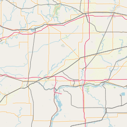
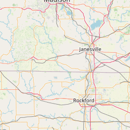
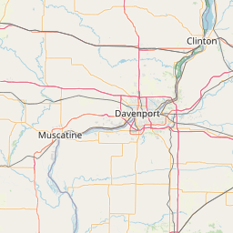
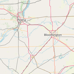
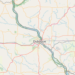
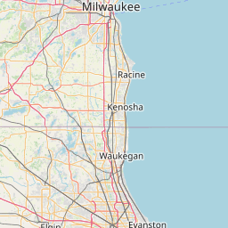
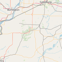
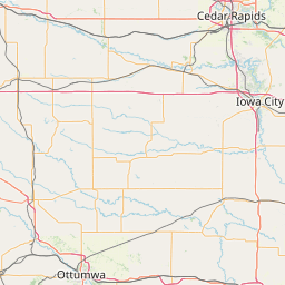
Distance Map Between Lansing and Galesburg
Lansing, Springfield, United States ↔ Galesburg, Springfield, United States = 153 miles = 246 km.


How far is it between Lansing and Galesburg
Lansing is located in United States with (41.5648,-87.5389) coordinates and Galesburg is located in United States with (40.9478,-90.3712) coordinates. The calculated flying distance from Lansing to Galesburg is equal to 153 miles which is equal to 246 km.
If you want to go by car, the driving distance between Lansing and Galesburg is 305.52 km. If you ride your car with an average speed of 112 kilometers/hour (70 miles/h), travel time will be 02 hours 43 minutes. Please check the avg. speed travel time table on the right for various options.
Difference between fly and go by a car is 60 km.
| City/Place | Latitude and Longitude | GPS Coordinates |
|---|---|---|
| Lansing | 41.5648, -87.5389 | 41° 33´ 53.1360'' N 87° 32´ 20.1480'' W |
| Galesburg | 40.9478, -90.3712 | 40° 56´ 52.1520'' N 90° 22´ 16.4640'' W |
Estimated Travel Time Between Lansing and Galesburg
| Average Speed | Travel Time |
|---|---|
| 30 mph (48 km/h) | 06 hours 21 minutes |
| 40 mph (64 km/h) | 04 hours 46 minutes |
| 50 mph (80 km/h) | 03 hours 49 minutes |
| 60 mph (97 km/h) | 03 hours 08 minutes |
| 70 mph (112 km/h) | 02 hours 43 minutes |
| 75 mph (120 km/h) | 02 hours 32 minutes |
Related Distances from Lansing
| Cities | Distance |
|---|---|
| Lansing 2 to Chicago | 41 km |
| Lansing 2 to Cicero | 52 km |
| Lansing 2 to Bolingbrook | 65 km |
| Lansing 2 to Chicago Heights | 15 km |
| Lansing 2 to Crystal Lake | 124 km |
Related Distances to Galesburg
| Cities | Distance |
|---|---|
| Rock Island to Galesburg | 91 km |
| Peoria 2 to Galesburg | 77 km |
| Macomb to Galesburg | 80 km |
| Moline to Galesburg | 80 km |
| Pekin to Galesburg | 89 km |