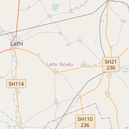
Distance from Lathi to Sihor
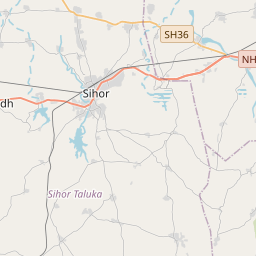
Distance between Lathi and Sihor is 59 kilometers (37 miles).
Driving distance from Lathi to Sihor is 72 kilometers (45 miles).
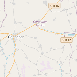
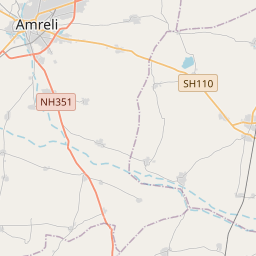
Distance Map Between Lathi and Sihor
Lathi, Ghandinagar, India ↔ Sihor, Ghandinagar, India = 37 miles = 59 km.


How far is it between Lāthi and Sihor
Lathi is located in India with (21.7231,71.3884) coordinates and Sihor is located in India with (21.7113,71.9618) coordinates. The calculated flying distance from Lathi to Sihor is equal to 37 miles which is equal to 59 km.
If you want to go by car, the driving distance between Lathi and Sihor is 72.26 km. If you ride your car with an average speed of 112 kilometers/hour (70 miles/h), travel time will be 00 hours 38 minutes. Please check the avg. speed travel time table on the right for various options.
Difference between fly and go by a car is 13 km.
| City/Place | Latitude and Longitude | GPS Coordinates |
|---|---|---|
| Lathi | 21.7231, 71.3884 | 21° 43´ 23.1600'' N 71° 23´ 18.3480'' E |
| Sihor | 21.7113, 71.9618 | 21° 42´ 40.8240'' N 71° 57´ 42.4440'' E |
Estimated Travel Time Between Lāthi and Sihor
| Average Speed | Travel Time |
|---|---|
| 30 mph (48 km/h) | 01 hours 30 minutes |
| 40 mph (64 km/h) | 01 hours 07 minutes |
| 50 mph (80 km/h) | 00 hours 54 minutes |
| 60 mph (97 km/h) | 00 hours 44 minutes |
| 70 mph (112 km/h) | 00 hours 38 minutes |
| 75 mph (120 km/h) | 00 hours 36 minutes |
Related Distances from Lathi
| Cities | Distance |
|---|---|
| Lathi to Rajkot | 100 km |
| Lathi to Una | 135 km |
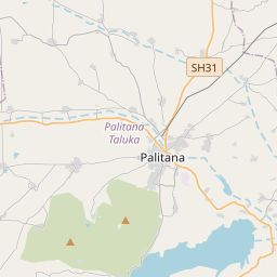
| Lathi to Palitana | 61 km |
| Lathi to Surat | 410 km |
| Lathi to Rajula | 89 km |
Related Distances to Sihor
| Cities | Distance |
|---|---|
| Bhavnagar to Sihor | 24 km |
| Jabalpur to Sihora | 42 km |
| Sagar to Sihora | 170 km |
| Chhindwara to Sihora | 251 km |
| Rajkot to Sihor | 152 km |