Distance from Latur to Nilanga
Distance between Latur and Nilanga is 37 kilometers (23 miles).
Driving distance from Latur to Nilanga is 51 kilometers (31 miles).
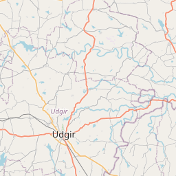
Distance Map Between Latur and Nilanga
Latur, Mumbai, India ↔ Nilanga, Mumbai, India = 23 miles = 37 km.


How far is it between Latur and Nilanga
Latur is located in India with (18.3972,76.5678) coordinates and Nilanga is located in India with (18.1168,76.7528) coordinates. The calculated flying distance from Latur to Nilanga is equal to 23 miles which is equal to 37 km.
If you want to go by car, the driving distance between Latur and Nilanga is 50.59 km. If you ride your car with an average speed of 112 kilometers/hour (70 miles/h), travel time will be 00 hours 27 minutes. Please check the avg. speed travel time table on the right for various options.
Difference between fly and go by a car is 14 km.
| City/Place | Latitude and Longitude | GPS Coordinates |
|---|---|---|
| Latur | 18.3972, 76.5678 | 18° 23´ 49.9560'' N 76° 34´ 4.2240'' E |
| Nilanga | 18.1168, 76.7528 | 18° 7´ 0.3000'' N 76° 45´ 10.0440'' E |
Estimated Travel Time Between Latur and Nilanga
| Average Speed | Travel Time |
|---|---|
| 30 mph (48 km/h) | 01 hours 03 minutes |
| 40 mph (64 km/h) | 00 hours 47 minutes |
| 50 mph (80 km/h) | 00 hours 37 minutes |
| 60 mph (97 km/h) | 00 hours 31 minutes |
| 70 mph (112 km/h) | 00 hours 27 minutes |
| 75 mph (120 km/h) | 00 hours 25 minutes |
Related Distances from Latur
| Cities | Distance |
|---|---|
| Latur to Udgir | 69 km |
| Latur to Nilanga | 51 km |
| Latur to Umarga | 72 km |
| Latur to Naldurg | 93 km |
| Latur to Nanded | 135 km |
Related Distances to Nilanga
| Cities | Distance |
|---|---|
| Latur to Nilanga | 51 km |
| Kolhapur to Nilanga | 363 km |
| Ambajogai to Nilanga | 95 km |
| Aurangabad to Nilanga | 315 km |
| Nanded to Nilanga | 152 km |