Distance from Leawood to Great Bend
Distance between Leawood and Great Bend is 366 kilometers (228 miles).
Driving distance from Leawood to Great Bend is 411 kilometers (256 miles).
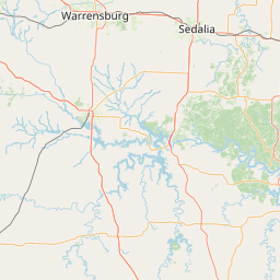
Distance Map Between Leawood and Great Bend
Leawood, Topeka, United States ↔ Great Bend, Topeka, United States = 228 miles = 366 km.


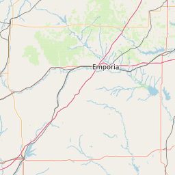

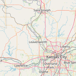


How far is it between Leawood and Great Bend
Leawood is located in United States with (38.9667,-94.6169) coordinates and Great Bend is located in United States with (38.3645,-98.7648) coordinates. The calculated flying distance from Leawood to Great Bend is equal to 228 miles which is equal to 366 km.
If you want to go by car, the driving distance between Leawood and Great Bend is 411.41 km. If you ride your car with an average speed of 112 kilometers/hour (70 miles/h), travel time will be 03 hours 40 minutes. Please check the avg. speed travel time table on the right for various options.
Difference between fly and go by a car is 45 km.
| City/Place | Latitude and Longitude | GPS Coordinates |
|---|---|---|
| Leawood | 38.9667, -94.6169 | 38° 58´ 0.0120'' N 94° 37´ 0.8400'' W |
| Great Bend | 38.3645, -98.7648 | 38° 21´ 52.0560'' N 98° 45´ 53.3160'' W |
Estimated Travel Time Between Leawood and Great Bend
| Average Speed | Travel Time |
|---|---|
| 30 mph (48 km/h) | 08 hours 34 minutes |
| 40 mph (64 km/h) | 06 hours 25 minutes |
| 50 mph (80 km/h) | 05 hours 08 minutes |
| 60 mph (97 km/h) | 04 hours 14 minutes |
| 70 mph (112 km/h) | 03 hours 40 minutes |
| 75 mph (120 km/h) | 03 hours 25 minutes |
Related Distances from Leawood
| Cities | Distance |
|---|---|
| Leawood to Kansas City 2 | 20 km |
| Leawood to Hays | 435 km |
| Leawood to Lawrence | 64 km |
| Leawood to Gardner 2 | 39 km |
| Leawood to Leavenworth | 69 km |
Related Distances to Great Bend
| Cities | Distance |
|---|---|
| Hutchinson to Great Bend | 101 km |
| Dodge City to Great Bend | 135 km |
| Kansas City 2 to Great Bend | 402 km |
| Garden City 2 to Great Bend | 200 km |
| Hays to Great Bend | 98 km |