Distance from Lebbeke to Lommel
Distance between Lebbeke and Lommel is 86 kilometers (53 miles).
Driving distance from Lebbeke to Lommel is 112 kilometers (70 miles).
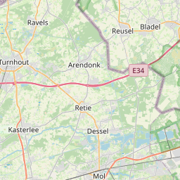
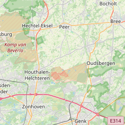
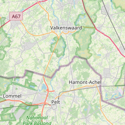
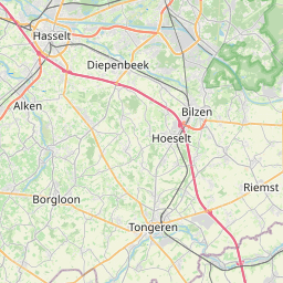
Distance Map Between Lebbeke and Lommel
Lebbeke, , Belgium ↔ Lommel, , Belgium = 53 miles = 86 km.


How far is it between Lebbeke and Lommel
Lebbeke is located in Belgium with (51.0046,4.1346) coordinates and Lommel is located in Belgium with (51.2307,5.3135) coordinates. The calculated flying distance from Lebbeke to Lommel is equal to 53 miles which is equal to 86 km.
If you want to go by car, the driving distance between Lebbeke and Lommel is 112 km. If you ride your car with an average speed of 112 kilometers/hour (70 miles/h), travel time will be 01 hours 00 minutes. Please check the avg. speed travel time table on the right for various options.
Difference between fly and go by a car is 26 km.
| City/Place | Latitude and Longitude | GPS Coordinates |
|---|---|---|
| Lebbeke | 51.0046, 4.1346 | 51° 0´ 16.7040'' N 4° 8´ 4.4520'' E |
| Lommel | 51.2307, 5.3135 | 51° 13´ 50.6640'' N 5° 18´ 48.5640'' E |
Estimated Travel Time Between Lebbeke and Lommel
| Average Speed | Travel Time |
|---|---|
| 30 mph (48 km/h) | 02 hours 20 minutes |
| 40 mph (64 km/h) | 01 hours 45 minutes |
| 50 mph (80 km/h) | 01 hours 24 minutes |
| 60 mph (97 km/h) | 01 hours 09 minutes |
| 70 mph (112 km/h) | 01 hours 00 minutes |
| 75 mph (120 km/h) | 00 hours 56 minutes |
Related Distances from Lebbeke
| Cities | Distance |
|---|---|
| Lebbeke to Oudenaarde | 63 km |
| Lebbeke to Vilvoorde | 26 km |
| Lebbeke to Wevelgem | 91 km |
| Lebbeke to Temse | 23 km |
| Lebbeke to Sint Pieters Leeuw | 34 km |
Related Distances to Lommel
| Cities | Distance |
|---|---|
| Antwerpen to Lommel | 74 km |
| Genk to Lommel | 45 km |
| Brugge to Lommel | 164 km |
| Hasselt to Lommel | 41 km |
| Boom to Lommel | 85 km |