Distance from Lebu to La Plata
Distance between Lebu and La Plata is 1437 kilometers (893 miles).
Driving distance from Lebu to La Plata is 1851 kilometers (1150 miles).
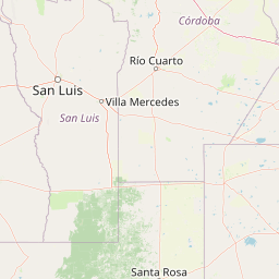
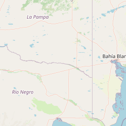
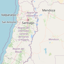
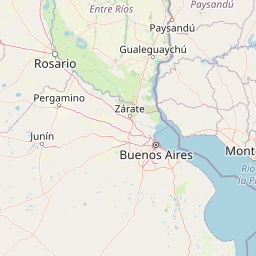
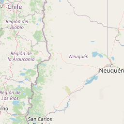
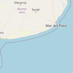
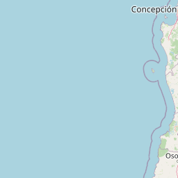
Distance Map Between Lebu and La Plata
Lebu, Concepcion, Chile ↔ La Plata, Argentina = 893 miles = 1437 km.


How far is it between Lebu and La Plata
Lebu is located in Chile with (-37.6083,-73.6536) coordinates and La Plata is located in Argentina with (-34.9215,-57.9545) coordinates. The calculated flying distance from Lebu to La Plata is equal to 893 miles which is equal to 1437 km.
If you want to go by car, the driving distance between Lebu and La Plata is 1851.17 km. If you ride your car with an average speed of 112 kilometers/hour (70 miles/h), travel time will be 16 hours 31 minutes. Please check the avg. speed travel time table on the right for various options.
Difference between fly and go by a car is 414 km.
| City/Place | Latitude and Longitude | GPS Coordinates |
|---|---|---|
| Lebu | -37.6083, -73.6536 | 37° 36´ 29.7000'' S 73° 39´ 12.8160'' W |
| La Plata | -34.9215, -57.9545 | 34° 55´ 17.2200'' S 57° 57´ 16.3080'' W |
Estimated Travel Time Between Lebu and La Plata
| Average Speed | Travel Time |
|---|---|
| 30 mph (48 km/h) | 38 hours 33 minutes |
| 40 mph (64 km/h) | 28 hours 55 minutes |
| 50 mph (80 km/h) | 23 hours 08 minutes |
| 60 mph (97 km/h) | 19 hours 05 minutes |
| 70 mph (112 km/h) | 16 hours 31 minutes |
| 75 mph (120 km/h) | 15 hours 25 minutes |
Related Distances from Lebu
| Cities | Distance |
|---|---|
| Lebu to Moron | 1806 km |
| Lebu to Buenos Aires | 1828 km |
| Lebu to Santiago Del Estero | 1892 km |
| Lebu to Mendoza | 1001 km |
| Lebu to San Juan | 1169 km |
Related Distances to La Plata
| Cities | Distance |
|---|---|
| Cabrero to La Plata | 1688 km |
| Santiago to La Plata | 1462 km |
| Vina Del Mar to La Plata | 1504 km |
| Rancagua to La Plata | 1544 km |
| Rengo to La Plata | 1575 km |