Distance from Lemay to Kansas City
Distance between Lemay and Kansas City is 378 kilometers (235 miles).
Driving distance from Lemay to Kansas City is 404 kilometers (251 miles).
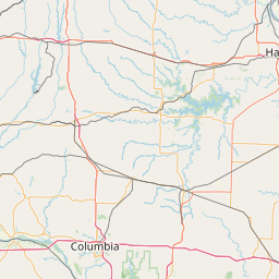
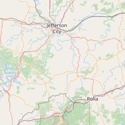
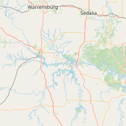
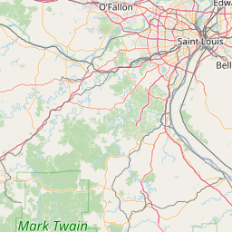
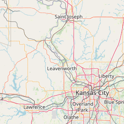
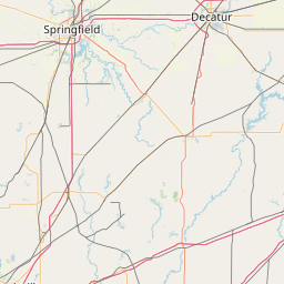
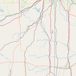
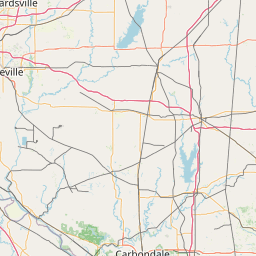
Distance Map Between Lemay and Kansas City
Lemay, Jefferson City, United States ↔ Kansas City, Jefferson City, United States = 235 miles = 378 km.

How far is it between Lemay and Kansas City
Lemay is located in United States with (38.5334,-90.2793) coordinates and Kansas City is located in United States with (39.0997,-94.5786) coordinates. The calculated flying distance from Lemay to Kansas City is equal to 235 miles which is equal to 378 km.
If you want to go by car, the driving distance between Lemay and Kansas City is 404.37 km. If you ride your car with an average speed of 112 kilometers/hour (70 miles/h), travel time will be 03 hours 36 minutes. Please check the avg. speed travel time table on the right for various options.
Difference between fly and go by a car is 26 km.
| City/Place | Latitude and Longitude | GPS Coordinates |
|---|---|---|
| Lemay | 38.5334, -90.2793 | 38° 32´ 0.2040'' N 90° 16´ 45.4080'' W |
| Kansas City | 39.0997, -94.5786 | 39° 5´ 59.0280'' N 94° 34´ 42.8520'' W |
Estimated Travel Time Between Lemay and Kansas City
| Average Speed | Travel Time |
|---|---|
| 30 mph (48 km/h) | 08 hours 25 minutes |
| 40 mph (64 km/h) | 06 hours 19 minutes |
| 50 mph (80 km/h) | 05 hours 03 minutes |
| 60 mph (97 km/h) | 04 hours 10 minutes |
| 70 mph (112 km/h) | 03 hours 36 minutes |
| 75 mph (120 km/h) | 03 hours 22 minutes |
Related Distances from Lemay
| Cities | Distance |
|---|---|
| Lemay to Columbia 2 | 206 km |
| Lemay to Florissant | 55 km |
| Lemay to Kansas City | 404 km |
| Lemay to Hazelwood | 43 km |
| Lemay to Cape Girardeau | 180 km |
Related Distances to Kansas City
| Cities | Distance |
|---|---|
| St Louis to Kansas City | 399 km |
| Wichita to Kansas City 2 | 318 km |
| Ozark to Kansas City | 296 km |
| Lawrence to Kansas City 2 | 61 km |
| Dodge City to Kansas City 2 | 536 km |