Distance from Lenger to Agra
Distance between Lenger and Agra is 1824 kilometers (1133 miles).
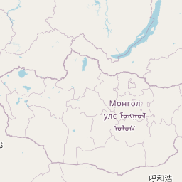
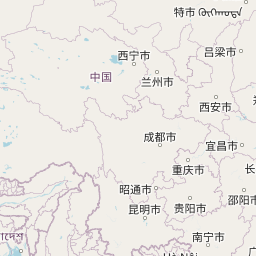
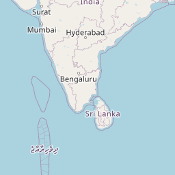
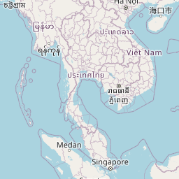
Distance Map Between Lenger and Agra
Lenger, Shymkent, Kazakhstan ↔ Agra, Lucknow, India = 1133 miles = 1824 km.


Leaflet | © OpenStreetMap
How far is it between Lenger and Āgra
Lenger is located in Kazakhstan with (42.183,69.8839) coordinates and Agra is located in India with (27.1833,78.0167) coordinates. The calculated flying distance from Lenger to Agra is equal to 1133 miles which is equal to 1824 km.
| City/Place | Latitude and Longitude | GPS Coordinates |
|---|---|---|
| Lenger | 42.183, 69.8839 | 42° 10´ 58.8360'' N 69° 53´ 2.1480'' E |
| Agra | 27.1833, 78.0167 | 27° 10´ 59.9880'' N 78° 1´ 0.0120'' E |
Lenger, Shymkent, Kazakhstan
Related Distances from Lenger
| Cities | Distance |
|---|---|
| Lenger to Saryaghash | 127 km |
| Lenger to Turkestan | 203 km |
Agra, Lucknow, India
Related Distances to Agra
| Cities | Distance |
|---|---|
| Jaipur to Agra | 243 km |
| Noida to Agra | 196 km |
| Kanpur to Agra | 277 km |
| Greater Noida to Agra | 178 km |
| Bangalore to Agra | 1936 km |