Distance from Leuven to Waregem
Distance between Leuven and Waregem is 89 kilometers (56 miles).
Driving distance from Leuven to Waregem is 111 kilometers (69 miles).
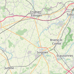
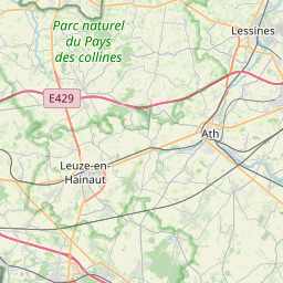
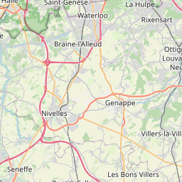
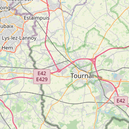
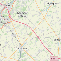
Distance Map Between Leuven and Waregem
Leuven, , Belgium ↔ Waregem, , Belgium = 56 miles = 89 km.


How far is it between Leuven and Waregem
Leuven is located in Belgium with (50.8796,4.7009) coordinates and Waregem is located in Belgium with (50.889,3.4276) coordinates. The calculated flying distance from Leuven to Waregem is equal to 56 miles which is equal to 89 km.
If you want to go by car, the driving distance between Leuven and Waregem is 110.93 km. If you ride your car with an average speed of 112 kilometers/hour (70 miles/h), travel time will be 00 hours 59 minutes. Please check the avg. speed travel time table on the right for various options.
Difference between fly and go by a car is 22 km.
| City/Place | Latitude and Longitude | GPS Coordinates |
|---|---|---|
| Leuven | 50.8796, 4.7009 | 50° 52´ 46.5240'' N 4° 42´ 3.3480'' E |
| Waregem | 50.889, 3.4276 | 50° 53´ 20.3280'' N 3° 25´ 39.2160'' E |
Estimated Travel Time Between Leuven and Waregem
| Average Speed | Travel Time |
|---|---|
| 30 mph (48 km/h) | 02 hours 18 minutes |
| 40 mph (64 km/h) | 01 hours 43 minutes |
| 50 mph (80 km/h) | 01 hours 23 minutes |
| 60 mph (97 km/h) | 01 hours 08 minutes |
| 70 mph (112 km/h) | 00 hours 59 minutes |
| 75 mph (120 km/h) | 00 hours 55 minutes |
Related Distances from Leuven
| Cities | Distance |
|---|---|
| Leuven to Lier | 45 km |
| Leuven to Lille 2 | 93 km |
| Leuven to Lochristi | 91 km |
| Leuven to Lokeren | 97 km |
| Leuven to Lommel | 87 km |
| Leuven to Londerzeel | 43 km |
| Leuven to Maaseik | 93 km |
| Leuven to Maasmechelen | 82 km |
| Leuven to Maldegem | 115 km |
| Leuven to Mechelen | 39 km |
Related Distances to Waregem
| Cities | Distance |
|---|---|
| Knokke Heist to Waregem | 64 km |
| Tielt to Waregem | 16 km |
| Harelbeke to Waregem | 11 km |
| Gent to Waregem | 36 km |
| Asse to Waregem | 70 km |
| Aalst to Waregem | 56 km |
| Lanaken to Waregem | 188 km |
| Ronse to Waregem | 24 km |
| Haaltert to Waregem | 54 km |
| Ieper to Waregem | 49 km |