Distance from Leuven to Zemst
Distance between Leuven and Zemst is 20 kilometers (13 miles).
Distance Map Between Leuven and Zemst
Leuven, , Belgium ↔ Zemst, , Belgium = 13 miles = 20 km.
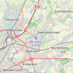
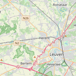
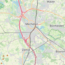
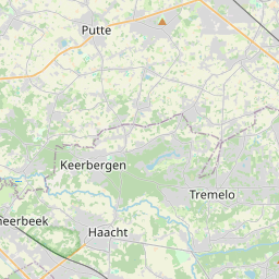
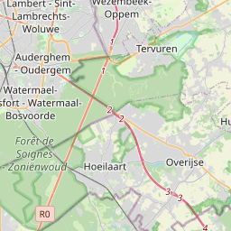
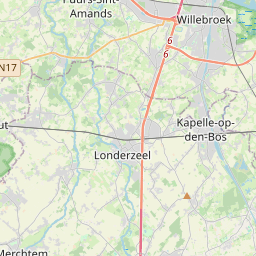

Leaflet | © OpenStreetMap
How far is it between Leuven and Zemst
Leuven is located in Belgium with (50.8796,4.7009) coordinates and Zemst is located in Belgium with (50.9832,4.4608) coordinates. The calculated flying distance from Leuven to Zemst is equal to 13 miles which is equal to 20 km.
| City/Place | Latitude and Longitude | GPS Coordinates |
|---|---|---|
| Leuven | 50.8796, 4.7009 | 50° 52´ 46.5240'' N 4° 42´ 3.3480'' E |
| Zemst | 50.9832, 4.4608 | 50° 58´ 59.4480'' N 4° 27´ 38.8440'' E |
Leuven, , Belgium
Related Distances from Leuven
| Cities | Distance |
|---|---|
| Leuven to Mechelen | 39 km |
| Leuven to Tienen | 20 km |
| Leuven to Turnhout | 102 km |
| Leuven to Zaventem | 21 km |
| Leuven to Mol | 79 km |
Zemst, , Belgium
Related Distances to Zemst
| Cities | Distance |
|---|---|
| Turnhout to Zemst | 72 km |
| Overijse to Zemst | 33 km |
| Londerzeel to Zemst | 17 km |
| Temse to Zemst | 30 km |
| Ostend to Zemst | 131 km |