Distance from Liberal to Lenexa
Distance between Liberal and Lenexa is 582 kilometers (362 miles).
Driving distance from Liberal to Lenexa is 630 kilometers (391 miles).
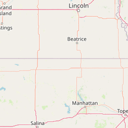
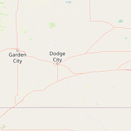
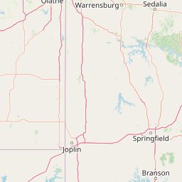
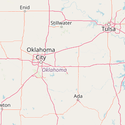
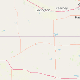
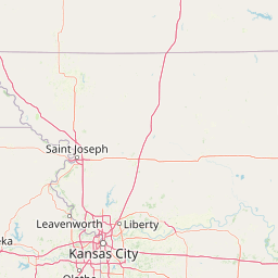
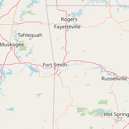
Distance Map Between Liberal and Lenexa
Liberal, Topeka, United States ↔ Lenexa, Topeka, United States = 362 miles = 582 km.


How far is it between Liberal and Lenexa
Liberal is located in United States with (37.0431,-100.921) coordinates and Lenexa is located in United States with (38.9536,-94.7336) coordinates. The calculated flying distance from Liberal to Lenexa is equal to 362 miles which is equal to 582 km.
If you want to go by car, the driving distance between Liberal and Lenexa is 629.82 km. If you ride your car with an average speed of 112 kilometers/hour (70 miles/h), travel time will be 05 hours 37 minutes. Please check the avg. speed travel time table on the right for various options.
Difference between fly and go by a car is 48 km.
| City/Place | Latitude and Longitude | GPS Coordinates |
|---|---|---|
| Liberal | 37.0431, -100.921 | 37° 2´ 35.0880'' N 100° 55´ 15.6000'' W |
| Lenexa | 38.9536, -94.7336 | 38° 57´ 13.0320'' N 94° 44´ 0.8520'' W |
Estimated Travel Time Between Liberal and Lenexa
| Average Speed | Travel Time |
|---|---|
| 30 mph (48 km/h) | 13 hours 07 minutes |
| 40 mph (64 km/h) | 09 hours 50 minutes |
| 50 mph (80 km/h) | 07 hours 52 minutes |
| 60 mph (97 km/h) | 06 hours 29 minutes |
| 70 mph (112 km/h) | 05 hours 37 minutes |
| 75 mph (120 km/h) | 05 hours 14 minutes |
Related Distances from Liberal
| Cities | Distance |
|---|---|
| Liberal to Wichita | 340 km |
| Liberal to Dodge City | 132 km |
| Liberal to Kansas City 2 | 655 km |
| Liberal to Great Bend | 266 km |
| Liberal to Hays | 300 km |
Related Distances to Lenexa
| Cities | Distance |
|---|---|
| Overland Park to Lenexa | 7 km |
| Wichita to Lenexa | 293 km |
| Salina to Lenexa | 283 km |
| Olathe to Lenexa | 13 km |
| Shawnee to Lenexa | 14 km |