Distance from Libertyville to Evanston
Distance between Libertyville and Evanston is 35 kilometers (21 miles).
Driving distance from Libertyville to Evanston is 44 kilometers (28 miles).
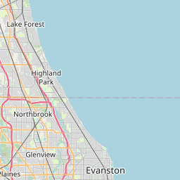
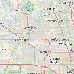
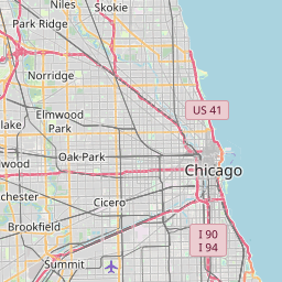
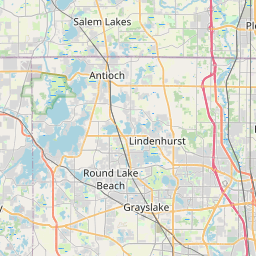
Distance Map Between Libertyville and Evanston
Libertyville, Springfield, United States ↔ Evanston, Springfield, United States = 21 miles = 35 km.


How far is it between Libertyville and Evanston
Libertyville is located in United States with (42.2831,-87.9531) coordinates and Evanston is located in United States with (42.0411,-87.6901) coordinates. The calculated flying distance from Libertyville to Evanston is equal to 21 miles which is equal to 35 km.
If you want to go by car, the driving distance between Libertyville and Evanston is 44.45 km. If you ride your car with an average speed of 112 kilometers/hour (70 miles/h), travel time will be 00 hours 23 minutes. Please check the avg. speed travel time table on the right for various options.
Difference between fly and go by a car is 9 km.
| City/Place | Latitude and Longitude | GPS Coordinates |
|---|---|---|
| Libertyville | 42.2831, -87.9531 | 42° 16´ 59.0880'' N 87° 57´ 11.2680'' W |
| Evanston | 42.0411, -87.6901 | 42° 2´ 28.1040'' N 87° 41´ 24.2160'' W |
Estimated Travel Time Between Libertyville and Evanston
| Average Speed | Travel Time |
|---|---|
| 30 mph (48 km/h) | 00 hours 55 minutes |
| 40 mph (64 km/h) | 00 hours 41 minutes |
| 50 mph (80 km/h) | 00 hours 33 minutes |
| 60 mph (97 km/h) | 00 hours 27 minutes |
| 70 mph (112 km/h) | 00 hours 23 minutes |
| 75 mph (120 km/h) | 00 hours 22 minutes |
Related Distances from Libertyville
| Cities | Distance |
|---|---|
| Libertyville to Chicago | 64 km |
| Libertyville to Highland Park | 21 km |
| Libertyville to Crystal Lake | 35 km |
| Libertyville to Dekalb | 132 km |
| Libertyville to Evanston | 44 km |
Related Distances to Evanston
| Cities | Distance |
|---|---|
| Highland Park to Evanston | 26 km |
| Glenview to Evanston | 11 km |
| Park Ridge to Evanston | 15 km |
| Skokie to Evanston | 4 km |
| Northbrook to Evanston | 22 km |