Distance from Lilio to Pagbilao
Distance between Lilio and Pagbilao is 32 kilometers (20 miles).
Driving distance from Lilio to Pagbilao is 42 kilometers (26 miles).
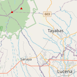
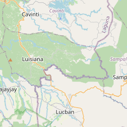
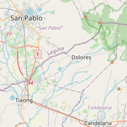
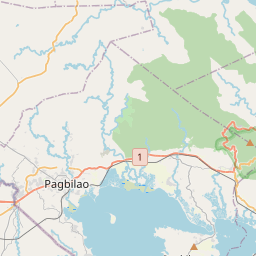
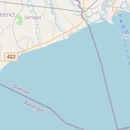
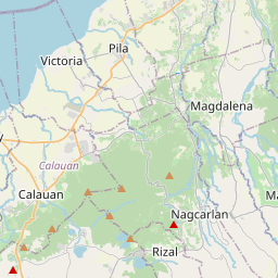
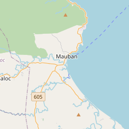
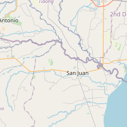
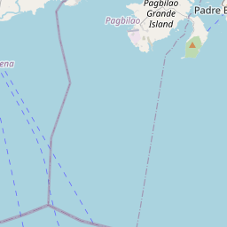
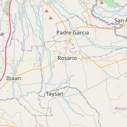
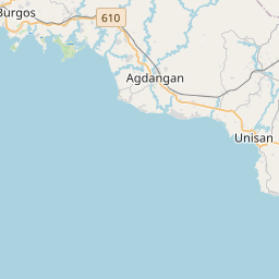
Distance Map Between Lilio and Pagbilao
Lilio, Calamba, Philippines ↔ Pagbilao, Calamba, Philippines = 20 miles = 32 km.


How far is it between Lilio and Pagbilao
Lilio is located in Philippines with (14.1313,121.4362) coordinates and Pagbilao is located in Philippines with (13.9712,121.6879) coordinates. The calculated flying distance from Lilio to Pagbilao is equal to 20 miles which is equal to 32 km.
If you want to go by car, the driving distance between Lilio and Pagbilao is 42.28 km. If you ride your car with an average speed of 112 kilometers/hour (70 miles/h), travel time will be 00 hours 22 minutes. Please check the avg. speed travel time table on the right for various options.
Difference between fly and go by a car is 10 km.
| City/Place | Latitude and Longitude | GPS Coordinates |
|---|---|---|
| Lilio | 14.1313, 121.4362 | 14° 7´ 52.6800'' N 121° 26´ 10.3200'' E |
| Pagbilao | 13.9712, 121.6879 | 13° 58´ 16.3200'' N 121° 41´ 16.4400'' E |
Estimated Travel Time Between Lilio and Pagbilao
| Average Speed | Travel Time |
|---|---|
| 30 mph (48 km/h) | 00 hours 52 minutes |
| 40 mph (64 km/h) | 00 hours 39 minutes |
| 50 mph (80 km/h) | 00 hours 31 minutes |
| 60 mph (97 km/h) | 00 hours 26 minutes |
| 70 mph (112 km/h) | 00 hours 22 minutes |
| 75 mph (120 km/h) | 00 hours 21 minutes |
Related Distances from Lilio
| Cities | Distance |
|---|---|
| Lilio to Taal | 77 km |
| Lilio to Pulong Santa Cruz | 61 km |
| Lilio to Nasugbu | 127 km |
| Lilio to Malvar | 50 km |
| Lilio to San Pablo | 19 km |
Related Distances to Pagbilao
| Cities | Distance |
|---|---|
| Lucena to Pagbilao | 11 km |
| Gumaca to Pagbilao | 54 km |
| Calauag to Pagbilao | 85 km |
| Lopez to Pagbilao | 74 km |
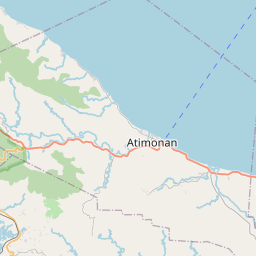
| Atimonan to Pagbilao | 30 km |