Distance from Lille to Rouen
Distance between Lille and Rouen is 193 kilometers (120 miles).
Driving distance from Lille to Rouen is 256 kilometers (159 miles).
Distance Map Between Lille and Rouen
Lille, France ↔ Rouen, France = 120 miles = 193 km.


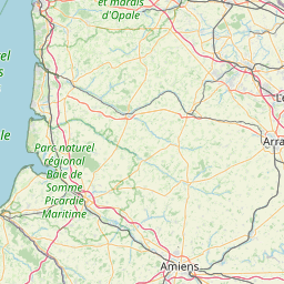
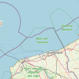
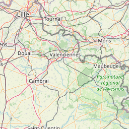
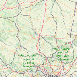
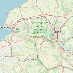
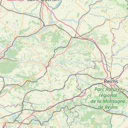
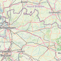
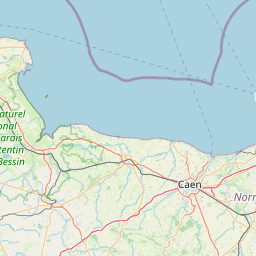
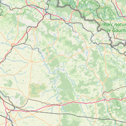

Leaflet | © OpenStreetMap
How far is it between Lille and Rouen
Lille is located in France with (50.633,3.0586) coordinates and Rouen is located in France with (49.4431,1.0993) coordinates. The calculated flying distance from Lille to Rouen is equal to 120 miles which is equal to 193 km.
If you want to go by car, the driving distance between Lille and Rouen is 256.36 km. If you ride your car with an average speed of 112 kilometers/hour (70 miles/h), travel time will be 02 hours 17 minutes. Please check the avg. speed travel time table on the right for various options.
Difference between fly and go by a car is 63 km.
| City/Place | Latitude and Longitude | GPS Coordinates |
|---|---|---|
| Lille | 50.633, 3.0586 | 50° 37´ 58.6920'' N 3° 3´ 30.8880'' E |
| Rouen | 49.4431, 1.0993 | 49° 26´ 35.2680'' N 1° 5´ 57.5520'' E |
Estimated Travel Time Between Lille and Rouen
| Average Speed | Travel Time |
|---|---|
| 30 mph (48 km/h) | 05 hours 20 minutes |
| 40 mph (64 km/h) | 04 hours 00 minutes |
| 50 mph (80 km/h) | 03 hours 12 minutes |
| 60 mph (97 km/h) | 02 hours 38 minutes |
| 70 mph (112 km/h) | 02 hours 17 minutes |
| 75 mph (120 km/h) | 02 hours 08 minutes |
Lille, France
Related Distances from Lille
| Cities | Distance |
|---|---|
| Lille to Paris | 226 km |
| Lille to Lyon | 691 km |
| Lille to Marseille | 1002 km |
| Lille to Strasbourg | 521 km |
| Lille to Toulouse | 895 km |
Rouen, France
Related Distances to Rouen
| Cities | Distance |
|---|---|
| Paris to Rouen | 135 km |
| Caen to Rouen | 127 km |
| Dieppe to Rouen | 70 km |
| Orleans to Rouen | 251 km |
| Lyon to Rouen | 595 km |