Distance from Lima to Cotoca
Distance between Lima and Cotoca is 1632 kilometers (1014 miles).
Driving distance from Lima to Cotoca is 2332 kilometers (1449 miles).
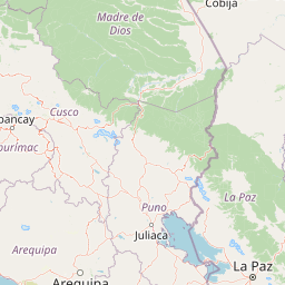
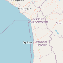
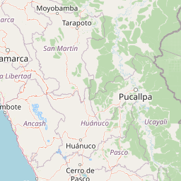
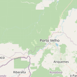
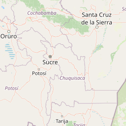
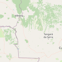
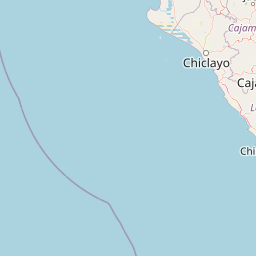
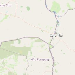
Distance Map Between Lima and Cotoca
Lima, Peru ↔ Cotoca, Santa Cruz de la Sierra, Bolivia = 1014 miles = 1632 km.


How far is it between Lima and Cotoca
Lima is located in Peru with (-12.0432,-77.0282) coordinates and Cotoca is located in Bolivia with (-17.8167,-63.05) coordinates. The calculated flying distance from Lima to Cotoca is equal to 1014 miles which is equal to 1632 km.
If you want to go by car, the driving distance between Lima and Cotoca is 2331.72 km. If you ride your car with an average speed of 112 kilometers/hour (70 miles/h), travel time will be 20 hours 49 minutes. Please check the avg. speed travel time table on the right for various options.
Difference between fly and go by a car is 700 km.
| City/Place | Latitude and Longitude | GPS Coordinates |
|---|---|---|
| Lima | -12.0432, -77.0282 | 12° 2´ 35.4480'' S 77° 1´ 41.6640'' W |
| Cotoca | -17.8167, -63.05 | 17° 49´ 0.0120'' S 63° 2´ 60.0000'' W |
Estimated Travel Time Between Lima and Cotoca
| Average Speed | Travel Time |
|---|---|
| 30 mph (48 km/h) | 48 hours 34 minutes |
| 40 mph (64 km/h) | 36 hours 25 minutes |
| 50 mph (80 km/h) | 29 hours 08 minutes |
| 60 mph (97 km/h) | 24 hours 02 minutes |
| 70 mph (112 km/h) | 20 hours 49 minutes |
| 75 mph (120 km/h) | 19 hours 25 minutes |
Related Distances from Lima
| Cities | Distance |
|---|---|
| Lima to La Paz | 1551 km |
| Lima to Santa Cruz De La Sierra | 2380 km |
| Lima to Cochabamba | 1916 km |
| Lima to Sucre | 2229 km |
| Lima to Potosi | 2059 km |
Related Distances to Cotoca
| Cities | Distance |
|---|---|
| Lima to Cotoca | 2332 km |
| Arequipa to Cotoca | 1452 km |
| Trujillo to Cotoca | 2884 km |