Distance from Lima to Leticia
Distance between Lima and Leticia is 1168 kilometers (726 miles).
Distance Map Between Lima and Leticia
Lima, Peru ↔ Leticia, Colombia = 726 miles = 1168 km.


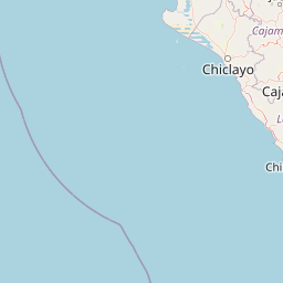
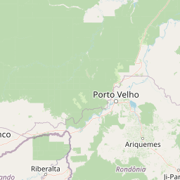


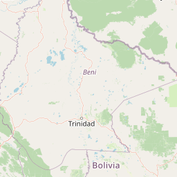

Leaflet | © OpenStreetMap
How far is it between Lima and Leticia
Lima is located in Peru with (-12.0432,-77.0282) coordinates and Leticia is located in Colombia with (-4.2153,-69.9406) coordinates. The calculated flying distance from Lima to Leticia is equal to 726 miles which is equal to 1168 km.
| City/Place | Latitude and Longitude | GPS Coordinates |
|---|---|---|
| Lima | -12.0432, -77.0282 | 12° 2´ 35.4480'' S 77° 1´ 41.6640'' W |
| Leticia | -4.2153, -69.9406 | 4° 12´ 55.0080'' S 69° 56´ 26.0160'' W |
Lima, Peru
Related Distances from Lima
| Cities | Distance |
|---|---|
| Lima to Popayan | 2432 km |
| Lima to Mocoa | 2282 km |
| Lima to Neiva | 2602 km |
| Lima to San Jose Del Guaviare | 3272 km |
| Lima to Florencia | 2525 km |