Distance from Lima to Porto Velho
Distance between Lima and Porto Velho is 1481 kilometers (920 miles).
Driving distance from Lima to Porto Velho is 2584 kilometers (1605 miles).
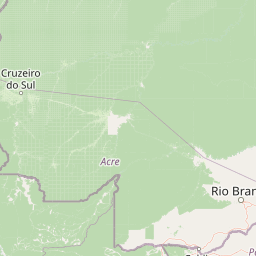
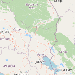
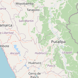
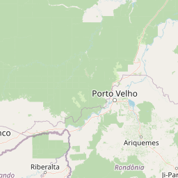
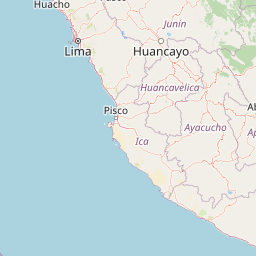
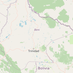
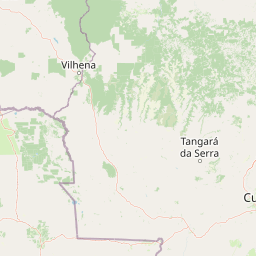
Distance Map Between Lima and Porto Velho
Lima, Peru ↔ Porto Velho, Brazil = 920 miles = 1481 km.


How far is it between Lima and Porto Velho
Lima is located in Peru with (-12.0432,-77.0282) coordinates and Porto Velho is located in Brazil with (-8.7619,-63.9039) coordinates. The calculated flying distance from Lima to Porto Velho is equal to 920 miles which is equal to 1481 km.
If you want to go by car, the driving distance between Lima and Porto Velho is 2583.51 km. If you ride your car with an average speed of 112 kilometers/hour (70 miles/h), travel time will be 23 hours 04 minutes. Please check the avg. speed travel time table on the right for various options.
Difference between fly and go by a car is 1103 km.
| City/Place | Latitude and Longitude | GPS Coordinates |
|---|---|---|
| Lima | -12.0432, -77.0282 | 12° 2´ 35.4480'' S 77° 1´ 41.6640'' W |
| Porto Velho | -8.7619, -63.9039 | 8° 45´ 42.9840'' S 63° 54´ 14.0040'' W |
Estimated Travel Time Between Lima and Porto Velho
| Average Speed | Travel Time |
|---|---|
| 30 mph (48 km/h) | 53 hours 49 minutes |
| 40 mph (64 km/h) | 40 hours 22 minutes |
| 50 mph (80 km/h) | 32 hours 17 minutes |
| 60 mph (97 km/h) | 26 hours 38 minutes |
| 70 mph (112 km/h) | 23 hours 04 minutes |
| 75 mph (120 km/h) | 21 hours 31 minutes |
Related Distances from Lima
| Cities | Distance |
|---|---|
| Lima to Manaus | 3470 km |
| Lima to Rio Branco | 2132 km |
| Lima to Porto Velho | 2584 km |
| Lima to Boa Vista | 4255 km |
| Lima to Cruzeiro Do Sul | 2773 km |
Related Distances to Porto Velho
| Cities | Distance |
|---|---|
| Lima to Porto Velho | 2584 km |
| Callao to Porto Velho | 2580 km |
| Huancayo to Porto Velho | 2292 km |
| Trujillo to Porto Velho | 3134 km |
| La Oroya to Porto Velho | 2427 km |