Distance from Linares to La Plata
Distance between Linares and La Plata is 1240 kilometers (770 miles).
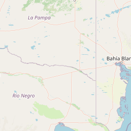
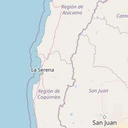
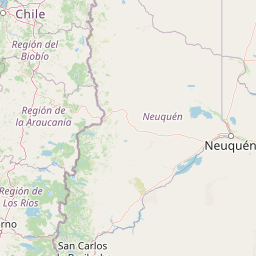
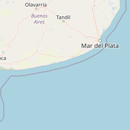
Distance Map Between Linares and La Plata
Linares, Talca, Chile ↔ La Plata, Argentina = 770 miles = 1240 km.


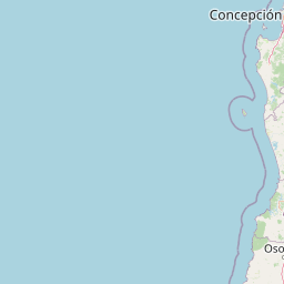


Leaflet | © OpenStreetMap
How far is it between Linares and La Plata
Linares is located in Chile with (-35.8467,-71.5931) coordinates and La Plata is located in Argentina with (-34.9215,-57.9545) coordinates. The calculated flying distance from Linares to La Plata is equal to 770 miles which is equal to 1240 km.
| City/Place | Latitude and Longitude | GPS Coordinates |
|---|---|---|
| Linares | -35.8467, -71.5931 | 35° 50´ 48.0120'' S 71° 35´ 35.0880'' W |
| La Plata | -34.9215, -57.9545 | 34° 55´ 17.2200'' S 57° 57´ 16.3080'' W |
Linares, Talca, Chile
Related Distances from Linares
| Cities | Distance |
|---|---|
| Linares to Buenos Aires | 1467 km |
| Linares to Cordoba | 1348 km |
| Linares to Corrientes | 1956 km |
| Linares to Mar Del Plata | 1639 km |
| Linares to Mendoza | 665 km |
| Linares to Moron | 1452 km |
| Linares to Posadas | 2194 km |
| Linares to Quilmes | 1496 km |
| Linares to Resistencia | 1969 km |
| Linares to Rosario | 1376 km |
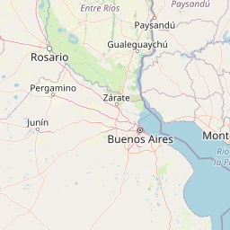
La Plata, Argentina
Related Distances to La Plata
| Cities | Distance |
|---|---|
| Rancagua to La Plata | 1544 km |
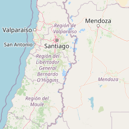
| Santiago to La Plata | 1462 km |
| Valparaiso to La Plata | 1512 km |
| Collipulli to La Plata | 1697 km |
| El Monte 2 to La Plata | 1509 km |
| Concepcion to La Plata | 1723 km |
| La Union 3 to La Plata | 1891 km |
| Illapel to La Plata | 1615 km |
| Paine to La Plata | 1501 km |
| San Vicente 4 to La Plata | 1599 km |