Distance from Lincoln to Leduc
Distance between Lincoln and Leduc is 1877 kilometers (1166 miles).
Driving distance from Lincoln to Leduc is 2390 kilometers (1485 miles).
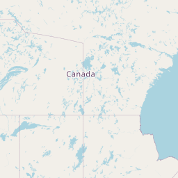
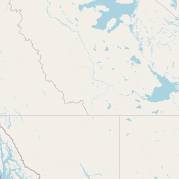
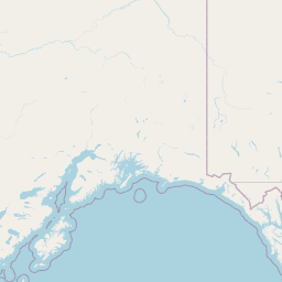
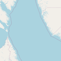
Distance Map Between Lincoln and Leduc
Lincoln, United States ↔ Leduc, Edmonton, Canada = 1166 miles = 1877 km.


How far is it between Lincoln and Leduc
Lincoln is located in United States with (40.8,-96.667) coordinates and Leduc is located in Canada with (53.2668,-113.552) coordinates. The calculated flying distance from Lincoln to Leduc is equal to 1166 miles which is equal to 1877 km.
If you want to go by car, the driving distance between Lincoln and Leduc is 2389.53 km. If you ride your car with an average speed of 112 kilometers/hour (70 miles/h), travel time will be 21 hours 20 minutes. Please check the avg. speed travel time table on the right for various options.
Difference between fly and go by a car is 513 km.
| City/Place | Latitude and Longitude | GPS Coordinates |
|---|---|---|
| Lincoln | 40.8, -96.667 | 40° 47´ 60.0000'' N 96° 40´ 1.0560'' W |
| Leduc | 53.2668, -113.552 | 53° 16´ 0.5520'' N 113° 33´ 7.2360'' W |
Estimated Travel Time Between Lincoln and Leduc
| Average Speed | Travel Time |
|---|---|
| 30 mph (48 km/h) | 49 hours 46 minutes |
| 40 mph (64 km/h) | 37 hours 20 minutes |
| 50 mph (80 km/h) | 29 hours 52 minutes |
| 60 mph (97 km/h) | 24 hours 38 minutes |
| 70 mph (112 km/h) | 21 hours 20 minutes |
| 75 mph (120 km/h) | 19 hours 54 minutes |
Related Distances from Lincoln
| Cities | Distance |
|---|---|
| Lincoln to Toronto | 1653 km |
| Lincoln to London 2 | 1481 km |
| Lincoln to Hamilton | 1593 km |
| Lincoln to Brampton | 1619 km |
| Lincoln to Markham | 1673 km |
Related Distances to Leduc
| Cities | Distance |
|---|---|
| Sioux Falls to Leduc | 1995 km |
| Vancouver 2 to Leduc | 1518 km |
| Seattle to Leduc | 1299 km |
| Spokane to Leduc | 943 km |
| Salt Lake City to Leduc | 1684 km |