Distance from Lingdong to Tailai
Distance between Lingdong and Tailai is 592 kilometers (368 miles).
Driving distance from Lingdong to Tailai is 863 kilometers (536 miles).
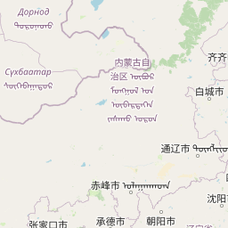
Distance Map Between Lingdong and Tailai
Lingdong, Harbin, China ↔ Tailai, Harbin, China = 368 miles = 592 km.


How far is it between Lingdong and Tailai
Lingdong is located in China with (46.5669,131.1453) coordinates and Tailai is located in China with (46.3891,123.4137) coordinates. The calculated flying distance from Lingdong to Tailai is equal to 368 miles which is equal to 592 km.
If you want to go by car, the driving distance between Lingdong and Tailai is 862.91 km. If you ride your car with an average speed of 112 kilometers/hour (70 miles/h), travel time will be 07 hours 42 minutes. Please check the avg. speed travel time table on the right for various options.
Difference between fly and go by a car is 271 km.
| City/Place | Latitude and Longitude | GPS Coordinates |
|---|---|---|
| Lingdong | 46.5669, 131.1453 | 46° 34´ 0.9840'' N 131° 8´ 43.0080'' E |
| Tailai | 46.3891, 123.4137 | 46° 23´ 20.7240'' N 123° 24´ 49.3560'' E |
Estimated Travel Time Between Lingdong and Tailai
| Average Speed | Travel Time |
|---|---|
| 30 mph (48 km/h) | 17 hours 58 minutes |
| 40 mph (64 km/h) | 13 hours 28 minutes |
| 50 mph (80 km/h) | 10 hours 47 minutes |
| 60 mph (97 km/h) | 08 hours 53 minutes |
| 70 mph (112 km/h) | 07 hours 42 minutes |
| 75 mph (120 km/h) | 07 hours 11 minutes |
Related Distances from Lingdong
| Cities | Distance |
|---|---|
| Lingdong to Qiqihar | 753 km |
| Lingdong to Zhaoyuan | 609 km |
| Lingdong to Tahe | 1407 km |
| Lingdong to Mingshui 2 | 619 km |
| Lingdong to Xinqing | 386 km |
Related Distances to Tailai
| Cities | Distance |
|---|---|
| Boli to Tailai | 797 km |
| Bei An to Tailai | 433 km |
| Qiqihar to Tailai | 141 km |
| Taikang to Tailai | 172 km |
| Mudanjiang to Tailai | 749 km |