Distance from Linkou to Tahe
Distance between Linkou and Tahe is 881 kilometers (548 miles).
Driving distance from Linkou to Tahe is 1427 kilometers (887 miles).
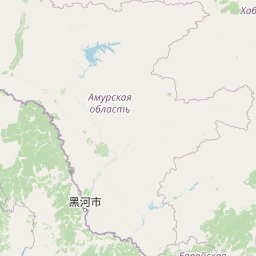
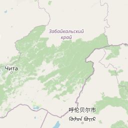
Distance Map Between Linkou and Tahe
Linkou, Harbin, China ↔ Tahe, Harbin, China = 548 miles = 881 km.


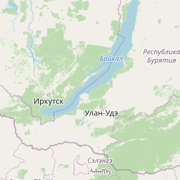


How far is it between Linkou and Tahe
Linkou is located in China with (45.2861,130.2615) coordinates and Tahe is located in China with (52.3333,124.7333) coordinates. The calculated flying distance from Linkou to Tahe is equal to 548 miles which is equal to 881 km.
If you want to go by car, the driving distance between Linkou and Tahe is 1426.89 km. If you ride your car with an average speed of 112 kilometers/hour (70 miles/h), travel time will be 12 hours 44 minutes. Please check the avg. speed travel time table on the right for various options.
Difference between fly and go by a car is 546 km.
| City/Place | Latitude and Longitude | GPS Coordinates |
|---|---|---|
| Linkou | 45.2861, 130.2615 | 45° 17´ 9.8160'' N 130° 15´ 41.4360'' E |
| Tahe | 52.3333, 124.7333 | 52° 19´ 59.9880'' N 124° 43´ 59.9880'' E |
Estimated Travel Time Between Linkou and Tahe
| Average Speed | Travel Time |
|---|---|
| 30 mph (48 km/h) | 29 hours 43 minutes |
| 40 mph (64 km/h) | 22 hours 17 minutes |
| 50 mph (80 km/h) | 17 hours 50 minutes |
| 60 mph (97 km/h) | 14 hours 42 minutes |
| 70 mph (112 km/h) | 12 hours 44 minutes |
| 75 mph (120 km/h) | 11 hours 53 minutes |
Related Distances from Linkou
| Cities | Distance |
|---|---|
| Linkou to Mudanjiang | 115 km |
| Linkou to Longjiang | 830 km |
| Linkou to Longfeng | 613 km |
| Linkou to Nenjiang | 982 km |
| Linkou to Nehe | 902 km |
Related Distances to Tahe
| Cities | Distance |
|---|---|
| Huanan to Tahe | 1395 km |
| Fujin to Tahe | 1485 km |
| Shangzhi to Tahe | 1128 km |
| Boli to Tahe | 1341 km |
| Taihe to Tahe | 1363 km |