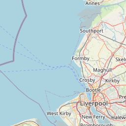
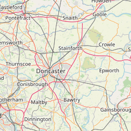
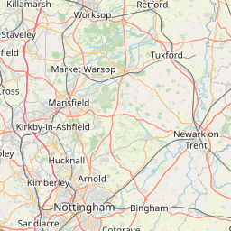
Distance from Liverpool to Sutton in Ashfield
Distance between Liverpool and Sutton in Ashfield is 118 kilometers (74 miles).
Driving distance from Liverpool to Sutton in Ashfield is 175 kilometers (109 miles).
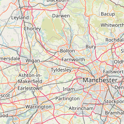
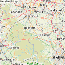
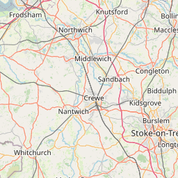
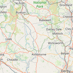
Distance Map Between Liverpool and Sutton in Ashfield
Liverpool, London, United Kingdom ↔ Sutton in Ashfield, London, United Kingdom = 74 miles = 118 km.


How far is it between Liverpool and Sutton in Ashfield
Liverpool is located in United Kingdom with (53.4106,-2.9779) coordinates and Sutton in Ashfield is located in United Kingdom with (53.1254,-1.2614) coordinates. The calculated flying distance from Liverpool to Sutton in Ashfield is equal to 74 miles which is equal to 118 km.
If you want to go by car, the driving distance between Liverpool and Sutton in Ashfield is 175.42 km. If you ride your car with an average speed of 112 kilometers/hour (70 miles/h), travel time will be 01 hours 33 minutes. Please check the avg. speed travel time table on the right for various options.
Difference between fly and go by a car is 57 km.
| City/Place | Latitude and Longitude | GPS Coordinates |
|---|---|---|
| Liverpool | 53.4106, -2.9779 | 53° 24´ 38.0880'' N 2° 58´ 40.5840'' W |
| Sutton in Ashfield | 53.1254, -1.2614 | 53° 7´ 31.5120'' N 1° 15´ 40.8600'' W |
Estimated Travel Time Between Liverpool and Sutton in Ashfield
| Average Speed | Travel Time |
|---|---|
| 30 mph (48 km/h) | 03 hours 39 minutes |
| 40 mph (64 km/h) | 02 hours 44 minutes |
| 50 mph (80 km/h) | 02 hours 11 minutes |
| 60 mph (97 km/h) | 01 hours 48 minutes |
| 70 mph (112 km/h) | 01 hours 33 minutes |
| 75 mph (120 km/h) | 01 hours 27 minutes |
Related Distances from Liverpool
| Cities | Distance |
|---|---|
| Liverpool to Manchester | 55 km |
| Liverpool to Newcastle Upon Tyne | 283 km |
| Liverpool to London | 355 km |
| Liverpool to Leeds | 116 km |
| Liverpool to York | 163 km |
Related Distances to Sutton in Ashfield
| Cities | Distance |
|---|---|
| Nottingham to Sutton In Ashfield | 28 km |
| City Of London to Sutton In Ashfield | 226 km |
| Derby to Sutton In Ashfield | 31 km |
| Sheffield to Sutton In Ashfield | 53 km |
| Leicester to Sutton In Ashfield | 70 km |