Distance from Lombard to Evanston
Distance between Lombard and Evanston is 32 kilometers (20 miles).
Driving distance from Lombard to Evanston is 42 kilometers (26 miles).
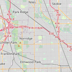
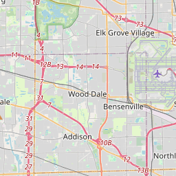
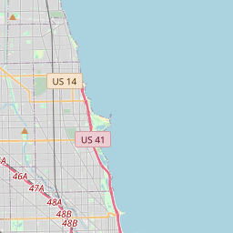
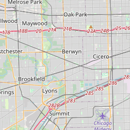
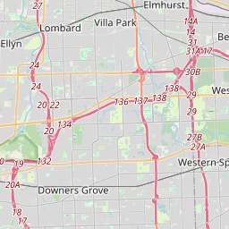
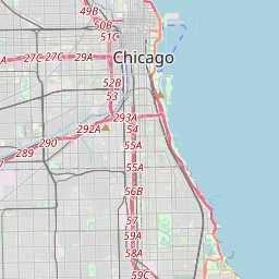
Distance Map Between Lombard and Evanston
Lombard, Springfield, United States ↔ Evanston, Springfield, United States = 20 miles = 32 km.


How far is it between Lombard and Evanston
Lombard is located in United States with (41.88,-88.0078) coordinates and Evanston is located in United States with (42.0411,-87.6901) coordinates. The calculated flying distance from Lombard to Evanston is equal to 20 miles which is equal to 32 km.
If you want to go by car, the driving distance between Lombard and Evanston is 42.48 km. If you ride your car with an average speed of 112 kilometers/hour (70 miles/h), travel time will be 00 hours 22 minutes. Please check the avg. speed travel time table on the right for various options.
Difference between fly and go by a car is 10 km.
| City/Place | Latitude and Longitude | GPS Coordinates |
|---|---|---|
| Lombard | 41.88, -88.0078 | 41° 52´ 48.1080'' N 88° 0´ 28.2240'' W |
| Evanston | 42.0411, -87.6901 | 42° 2´ 28.1040'' N 87° 41´ 24.2160'' W |
Estimated Travel Time Between Lombard and Evanston
| Average Speed | Travel Time |
|---|---|
| 30 mph (48 km/h) | 00 hours 53 minutes |
| 40 mph (64 km/h) | 00 hours 39 minutes |
| 50 mph (80 km/h) | 00 hours 31 minutes |
| 60 mph (97 km/h) | 00 hours 26 minutes |
| 70 mph (112 km/h) | 00 hours 22 minutes |
| 75 mph (120 km/h) | 00 hours 21 minutes |
Related Distances from Lombard
| Cities | Distance |
|---|---|
| Lombard to Addison | 7 km |
| Lombard to Algonquin | 49 km |
| Lombard to Alsip | 40 km |
| Lombard to Alton | 443 km |
| Lombard to Arlington Heights | 30 km |
| Lombard to Aurora 2 | 41 km |
| Lombard to Bartlett 2 | 29 km |
| Lombard to Batavia | 43 km |
| Lombard to Belleville 2 | 457 km |
| Lombard to Bellwood | 15 km |
Related Distances to Evanston
| Cities | Distance |
|---|---|
| Wheaton to Evanston | 58 km |
| Glenview to Evanston | 11 km |
| Wilmette to Evanston | 5 km |
| Niles to Evanston | 11 km |
| Waukegan to Evanston | 57 km |
| Grayslake to Evanston | 59 km |
| Wheeling to Evanston | 30 km |
| Woodridge to Evanston | 59 km |
| Westmont 2 to Evanston | 47 km |
| Palatine to Evanston | 36 km |