Distance from Londerzeel to Ostend
Distance between Londerzeel and Ostend is 99 kilometers (61 miles).
Distance Map Between Londerzeel and Ostend
Londerzeel, , Belgium ↔ Ostend, , Belgium = 61 miles = 99 km.
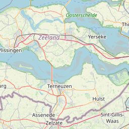
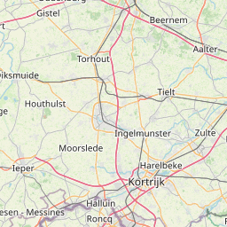
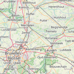

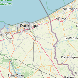


Leaflet | © OpenStreetMap
How far is it between Londerzeel and Ostend
Londerzeel is located in Belgium with (51.0047,4.303) coordinates and Ostend is located in Belgium with (51.2155,2.927) coordinates. The calculated flying distance from Londerzeel to Ostend is equal to 61 miles which is equal to 99 km.
| City/Place | Latitude and Longitude | GPS Coordinates |
|---|---|---|
| Londerzeel | 51.0047, 4.303 | 51° 0´ 16.8480'' N 4° 18´ 10.9440'' E |
| Ostend | 51.2155, 2.927 | 51° 12´ 55.8360'' N 2° 55´ 37.2000'' E |
Londerzeel, , Belgium
Related Distances from Londerzeel
| Cities | Distance |
|---|---|
| Londerzeel to Zele | 23 km |
| Londerzeel to Turnhout | 70 km |
| Londerzeel to Zottegem | 58 km |
| Londerzeel to Zaventem | 26 km |
| Londerzeel to Zemst | 17 km |
Ostend, , Belgium
Related Distances to Ostend
| Cities | Distance |
|---|---|
| Brugge to Ostend | 30 km |
| Antwerpen to Ostend | 119 km |
| Knokke Heist to Ostend | 32 km |
| Gent to Ostend | 62 km |
| Leuven to Ostend | 140 km |