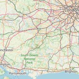
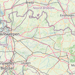
Distance from London to Brasschaat
Distance between London and Brasschaat is 321 kilometers (200 miles).
Driving distance from London to Brasschaat is 403 kilometers (250 miles).
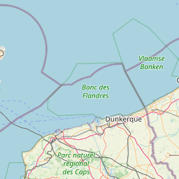
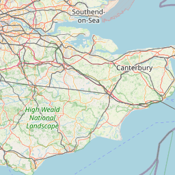
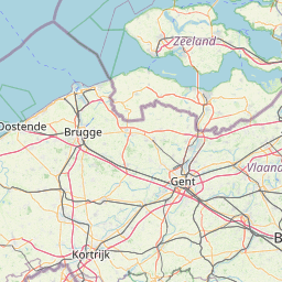
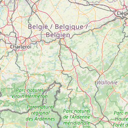
Distance Map Between London and Brasschaat
London, United Kingdom ↔ Brasschaat, , Belgium = 200 miles = 321 km.


How far is it between London and Brasschaat
London is located in United Kingdom with (51.5085,-0.1257) coordinates and Brasschaat is located in Belgium with (51.2912,4.4918) coordinates. The calculated flying distance from London to Brasschaat is equal to 200 miles which is equal to 321 km.
If you want to go by car, the driving distance between London and Brasschaat is 402.51 km. If you ride your car with an average speed of 112 kilometers/hour (70 miles/h), travel time will be 03 hours 35 minutes. Please check the avg. speed travel time table on the right for various options.
Difference between fly and go by a car is 82 km.
| City/Place | Latitude and Longitude | GPS Coordinates |
|---|---|---|
| London | 51.5085, -0.1257 | 51° 30´ 30.7080'' N 0° 7´ 32.6640'' W |
| Brasschaat | 51.2912, 4.4918 | 51° 17´ 28.3200'' N 4° 29´ 30.5520'' E |
Estimated Travel Time Between London and Brasschaat
| Average Speed | Travel Time |
|---|---|
| 30 mph (48 km/h) | 08 hours 23 minutes |
| 40 mph (64 km/h) | 06 hours 17 minutes |
| 50 mph (80 km/h) | 05 hours 01 minutes |
| 60 mph (97 km/h) | 04 hours 08 minutes |
| 70 mph (112 km/h) | 03 hours 35 minutes |
| 75 mph (120 km/h) | 03 hours 21 minutes |
Related Distances from London
| Cities | Distance |
|---|---|
| London to Brussels | 379 km |
| London to Antwerpen | 372 km |
| London to Brugge | 294 km |
| London to Waterloo 3 | 404 km |
| London to Ostend | 279 km |
Related Distances to Brasschaat
| Cities | Distance |
|---|---|
| London to Brasschaat | 403 km |
| Birmingham to Brasschaat | 608 km |
| City Of London to Brasschaat | 388 km |