Distance from London to Brussels
Distance between London and Brussels is 320 kilometers (199 miles).
Driving distance from London to Brussels is 379 kilometers (235 miles).
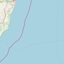
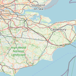
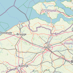
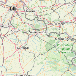
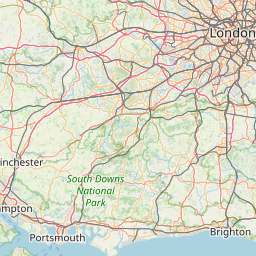
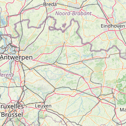
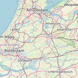
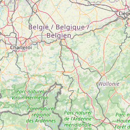
Distance Map Between London and Brussels
London, United Kingdom ↔ Brussels, Belgium = 199 miles = 320 km.
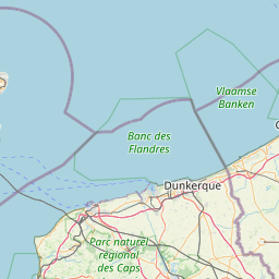


How far is it between London and Brussels
London is located in United Kingdom with (51.5085,-0.1257) coordinates and Brussels is located in Belgium with (50.8505,4.3488) coordinates. The calculated flying distance from London to Brussels is equal to 199 miles which is equal to 320 km.
If you want to go by car, the driving distance between London and Brussels is 378.84 km. If you ride your car with an average speed of 112 kilometers/hour (70 miles/h), travel time will be 03 hours 22 minutes. Please check the avg. speed travel time table on the right for various options.
Difference between fly and go by a car is 59 km.
| City/Place | Latitude and Longitude | GPS Coordinates |
|---|---|---|
| London | 51.5085, -0.1257 | 51° 30´ 30.7080'' N 0° 7´ 32.6640'' W |
| Brussels | 50.8505, 4.3488 | 50° 51´ 1.6200'' N 4° 20´ 55.6080'' E |
Estimated Travel Time Between London and Brussels
| Average Speed | Travel Time |
|---|---|
| 30 mph (48 km/h) | 07 hours 53 minutes |
| 40 mph (64 km/h) | 05 hours 55 minutes |
| 50 mph (80 km/h) | 04 hours 44 minutes |
| 60 mph (97 km/h) | 03 hours 54 minutes |
| 70 mph (112 km/h) | 03 hours 22 minutes |
| 75 mph (120 km/h) | 03 hours 09 minutes |
Related Distances from London
| Cities | Distance |
|---|---|
| London to Aalst | 356 km |
| London to Aalter | 298 km |
| London to Aarschot | 426 km |
| London to Andenne | 456 km |
| London to Ans | 474 km |
| London to Antwerpen | 372 km |
| London to Arlon | 554 km |
| London to Asse | 369 km |
| London to Ath | 352 km |
| London to Balen | 445 km |
Related Distances to Brussels
| Cities | Distance |
|---|---|
| Exmouth to Brussels | 633 km |
| Huddersfield to Brussels | 669 km |
| Lincoln 2 to Brussels | 589 km |
| Cardiff to Brussels | 618 km |
| Pontefract to Brussels | 643 km |
| Bradford to Brussels | 684 km |
| Belfast to Brussels | 1141 km |
| Gosport to Brussels | 475 km |
| Barry to Brussels | 635 km |
| Chatham to Brussels | 316 km |