Distance from London to Hastings
Distance between London and Hastings is 87 kilometers (54 miles).
Driving distance from London to Hastings is 107 kilometers (66 miles).
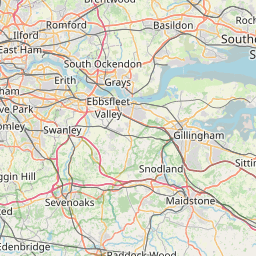
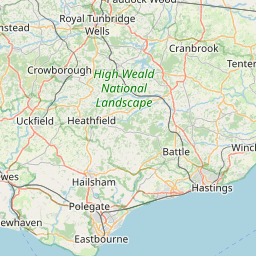
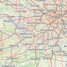
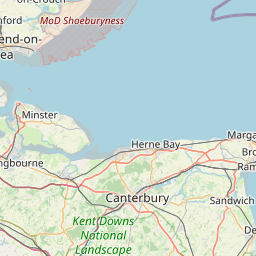
Distance Map Between London and Hastings
London, United Kingdom ↔ Hastings, London, United Kingdom = 54 miles = 87 km.


How far is it between London and Hastings
London is located in United Kingdom with (51.5085,-0.1257) coordinates and Hastings is located in United Kingdom with (50.8552,0.5729) coordinates. The calculated flying distance from London to Hastings is equal to 54 miles which is equal to 87 km.
If you want to go by car, the driving distance between London and Hastings is 106.53 km. If you ride your car with an average speed of 112 kilometers/hour (70 miles/h), travel time will be 00 hours 57 minutes. Please check the avg. speed travel time table on the right for various options.
Difference between fly and go by a car is 20 km.
| City/Place | Latitude and Longitude | GPS Coordinates |
|---|---|---|
| London | 51.5085, -0.1257 | 51° 30´ 30.7080'' N 0° 7´ 32.6640'' W |
| Hastings | 50.8552, 0.5729 | 50° 51´ 18.6840'' N 0° 34´ 22.5120'' E |
Estimated Travel Time Between London and Hastings
| Average Speed | Travel Time |
|---|---|
| 30 mph (48 km/h) | 02 hours 13 minutes |
| 40 mph (64 km/h) | 01 hours 39 minutes |
| 50 mph (80 km/h) | 01 hours 19 minutes |
| 60 mph (97 km/h) | 01 hours 05 minutes |
| 70 mph (112 km/h) | 00 hours 57 minutes |
| 75 mph (120 km/h) | 00 hours 53 minutes |
Related Distances from London
| Cities | Distance |
|---|---|
| London to Aberdare | 272 km |
| London to Aberdeen | 877 km |
| London to Abergele | 402 km |
| London to Aberystwyth | 380 km |
| London to Abingdon | 100 km |
| London to Accrington | 390 km |
| London to Acocks Green | 190 km |
| London to Acton | 13 km |
| London to Bath | 192 km |
| London to Belfast | 763 km |
Related Distances to Hastings
| Cities | Distance |
|---|---|
| Colchester to Hastings | 167 km |
| Derby to Hastings | 329 km |
| Dagenham to Hastings | 102 km |
| Beckenham to Hastings | 89 km |
| Cheltenham to Hastings | 284 km |
| Crawley to Hastings | 88 km |
| Brighton to Hastings | 61 km |
| Birmingham to Hastings | 318 km |
| Grays to Hastings | 96 km |
| Chatham to Hastings | 65 km |