Distance from London to Malakoff
Distance between London and Malakoff is 345 kilometers (215 miles).
Driving distance from London to Malakoff is 466 kilometers (289 miles).
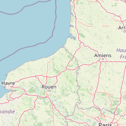
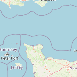
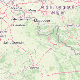
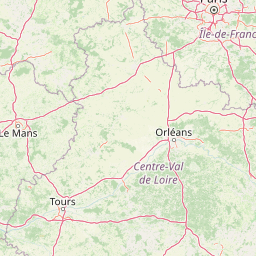
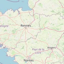
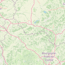
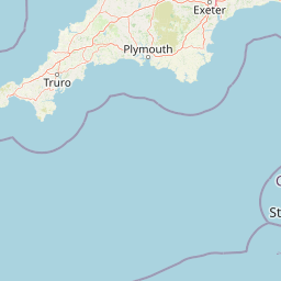
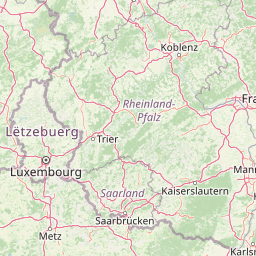
Distance Map Between London and Malakoff
London, United Kingdom ↔ Malakoff, Paris, France = 215 miles = 345 km.


How far is it between London and Malakoff
London is located in United Kingdom with (51.5085,-0.1257) coordinates and Malakoff is located in France with (48.82,2.3) coordinates. The calculated flying distance from London to Malakoff is equal to 215 miles which is equal to 345 km.
If you want to go by car, the driving distance between London and Malakoff is 465.58 km. If you ride your car with an average speed of 112 kilometers/hour (70 miles/h), travel time will be 04 hours 09 minutes. Please check the avg. speed travel time table on the right for various options.
Difference between fly and go by a car is 121 km.
| City/Place | Latitude and Longitude | GPS Coordinates |
|---|---|---|
| London | 51.5085, -0.1257 | 51° 30´ 30.7080'' N 0° 7´ 32.6640'' W |
| Malakoff | 48.82, 2.3 | 48° 49´ 11.9640'' N 2° 17´ 59.9280'' E |
Estimated Travel Time Between London and Malakoff
| Average Speed | Travel Time |
|---|---|
| 30 mph (48 km/h) | 09 hours 41 minutes |
| 40 mph (64 km/h) | 07 hours 16 minutes |
| 50 mph (80 km/h) | 05 hours 49 minutes |
| 60 mph (97 km/h) | 04 hours 47 minutes |
| 70 mph (112 km/h) | 04 hours 09 minutes |
| 75 mph (120 km/h) | 03 hours 52 minutes |
Related Distances from London
| Cities | Distance |
|---|---|
| London to Paris | 456 km |
| London to Nice | 1408 km |
| London to Marseille | 1251 km |
| London to Calais | 187 km |
| London to Lyon | 941 km |
Related Distances to Malakoff
| Cities | Distance |
|---|---|
| London to Malakoff | 466 km |
| City Of London to Malakoff | 463 km |