Distance from Londrina to Azul
Distance between Londrina and Azul is 1713 kilometers (1065 miles).
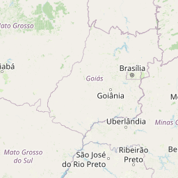
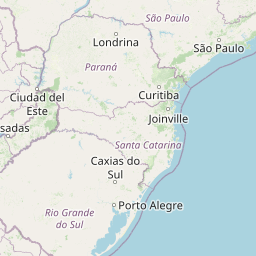
Distance Map Between Londrina and Azul
Londrina, Curitiba, Brazil ↔ Azul, La Plata, Argentina = 1065 miles = 1713 km.


Leaflet | © OpenStreetMap
How far is it between Londrina and Azul
Londrina is located in Brazil with (-23.3103,-51.1628) coordinates and Azul is located in Argentina with (-36.777,-59.8585) coordinates. The calculated flying distance from Londrina to Azul is equal to 1065 miles which is equal to 1713 km.
| City/Place | Latitude and Longitude | GPS Coordinates |
|---|---|---|
| Londrina | -23.3103, -51.1628 | 23° 18´ 37.0080'' S 51° 9´ 46.0080'' W |
| Azul | -36.777, -59.8585 | 36° 46´ 37.1280'' S 59° 51´ 30.7440'' W |
Londrina, Curitiba, Brazil
Related Distances from Londrina
| Cities | Distance |
|---|---|
| Londrina to Cordoba | 1925 km |
| Londrina to Salta | 1958 km |
| Londrina to Santa Rosa 3 | 2315 km |
| Londrina to La Plata | 1863 km |
| Londrina to Mendoza | 2476 km |
Azul, La Plata, Argentina
Related Distances to Azul
| Cities | Distance |
|---|---|
| Rio De Janeiro to Azul | 2937 km |
| Porto Alegre to Azul | 1584 km |
| Belford Roxo to Azul | 2909 km |
| Sao Paulo to Azul | 2494 km |
| Sorocaba to Azul | 2441 km |