Distance from Londrina to Dolores
Distance between Londrina and Dolores is 1575 kilometers (979 miles).
Driving distance from Londrina to Dolores is 2012 kilometers (1250 miles).
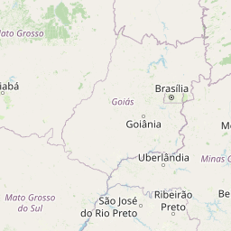
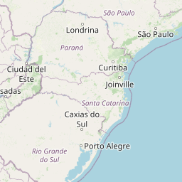
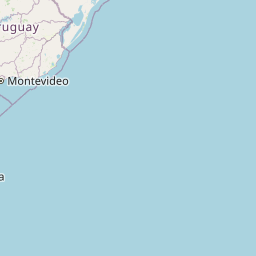
Distance Map Between Londrina and Dolores
Londrina, Curitiba, Brazil ↔ Dolores, La Plata, Argentina = 979 miles = 1575 km.


How far is it between Londrina and Dolores
Londrina is located in Brazil with (-23.3103,-51.1628) coordinates and Dolores is located in Argentina with (-36.3132,-57.6792) coordinates. The calculated flying distance from Londrina to Dolores is equal to 979 miles which is equal to 1575 km.
If you want to go by car, the driving distance between Londrina and Dolores is 2012.19 km. If you ride your car with an average speed of 112 kilometers/hour (70 miles/h), travel time will be 17 hours 57 minutes. Please check the avg. speed travel time table on the right for various options.
Difference between fly and go by a car is 437 km.
| City/Place | Latitude and Longitude | GPS Coordinates |
|---|---|---|
| Londrina | -23.3103, -51.1628 | 23° 18´ 37.0080'' S 51° 9´ 46.0080'' W |
| Dolores | -36.3132, -57.6792 | 36° 18´ 47.5560'' S 57° 40´ 45.0480'' W |
Estimated Travel Time Between Londrina and Dolores
| Average Speed | Travel Time |
|---|---|
| 30 mph (48 km/h) | 41 hours 55 minutes |
| 40 mph (64 km/h) | 31 hours 26 minutes |
| 50 mph (80 km/h) | 25 hours 09 minutes |
| 60 mph (97 km/h) | 20 hours 44 minutes |
| 70 mph (112 km/h) | 17 hours 57 minutes |
| 75 mph (120 km/h) | 16 hours 46 minutes |
Related Distances from Londrina
| Cities | Distance |
|---|---|
| Londrina to Albardon | 2485 km |
| Londrina to Buenos Aires | 1796 km |
| Londrina to Catriel | 2735 km |
| Londrina to Caucete | 2447 km |
| Londrina to Chilecito | 2333 km |
| Londrina to Chimbas | 2481 km |
| Londrina to Cordoba | 1925 km |
| Londrina to Coronel Suarez | 2273 km |
| Londrina to Dolores | 2012 km |
| Londrina to Embalse | 2038 km |
Related Distances to Dolores
| Cities | Distance |
|---|---|
| Porto Alegre to Dolores | 1523 km |
| Rio De Janeiro to Dolores | 2873 km |
| Sao Paulo to Dolores | 2443 km |
| Nova Iguacu to Dolores | 2839 km |
| Sao Jose Dos Campos to Dolores | 2540 km |
| Osasco to Dolores | 2433 km |
| Joinville to Dolores | 2019 km |
| Curitiba to Dolores | 2050 km |
| Belford Roxo to Dolores | 2855 km |
| Sao Bernardo Do Campo to Dolores | 2477 km |