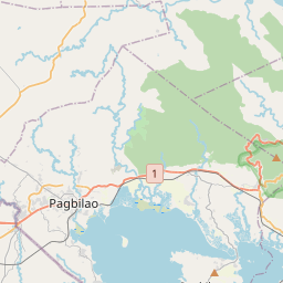
Distance from Lopez to Pagbilao
Distance between Lopez and Pagbilao is 63 kilometers (39 miles).
Driving distance from Lopez to Pagbilao is 74 kilometers (46 miles).
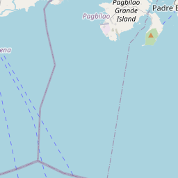
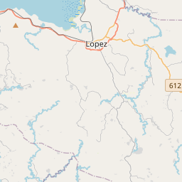
Distance Map Between Lopez and Pagbilao
Lopez, Calamba, Philippines ↔ Pagbilao, Calamba, Philippines = 39 miles = 63 km.


How far is it between Lopez and Pagbilao
Lopez is located in Philippines with (13.884,122.2604) coordinates and Pagbilao is located in Philippines with (13.9712,121.6879) coordinates. The calculated flying distance from Lopez to Pagbilao is equal to 39 miles which is equal to 63 km.
If you want to go by car, the driving distance between Lopez and Pagbilao is 73.55 km. If you ride your car with an average speed of 112 kilometers/hour (70 miles/h), travel time will be 00 hours 39 minutes. Please check the avg. speed travel time table on the right for various options.
Difference between fly and go by a car is 11 km.
| City/Place | Latitude and Longitude | GPS Coordinates |
|---|---|---|
| Lopez | 13.884, 122.2604 | 13° 53´ 2.4000'' N 122° 15´ 37.4400'' E |
| Pagbilao | 13.9712, 121.6879 | 13° 58´ 16.3200'' N 121° 41´ 16.4400'' E |
Estimated Travel Time Between Lopez and Pagbilao
| Average Speed | Travel Time |
|---|---|
| 30 mph (48 km/h) | 01 hours 31 minutes |
| 40 mph (64 km/h) | 01 hours 08 minutes |
| 50 mph (80 km/h) | 00 hours 55 minutes |
| 60 mph (97 km/h) | 00 hours 45 minutes |
| 70 mph (112 km/h) | 00 hours 39 minutes |
| 75 mph (120 km/h) | 00 hours 36 minutes |
Related Distances from Lopez
| Cities | Distance |
|---|---|
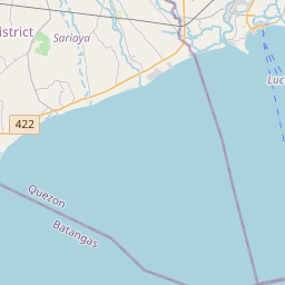
| Lopez to Lucena | 84 km |
| Lopez to Sariaya | 97 km |
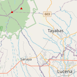
| Lopez to Pagbilao | 74 km |
| Lopez to Tayabas | 90 km |
| Lopez to Lucban | 98 km |
Related Distances to Pagbilao
| Cities | Distance |
|---|---|
| Lucena to Pagbilao | 11 km |
| Gumaca to Pagbilao | 54 km |
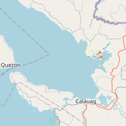
| Calauag to Pagbilao | 85 km |
| Lopez to Pagbilao | 74 km |
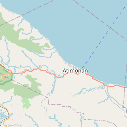
| Atimonan to Pagbilao | 30 km |