Distance from Ludlow to Lowell
Distance between Ludlow and Lowell is 109 kilometers (68 miles).
Driving distance from Ludlow to Lowell is 137 kilometers (85 miles).
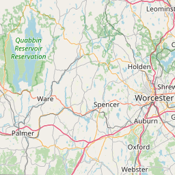
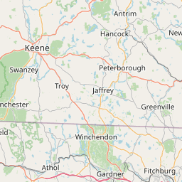
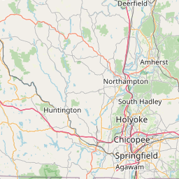
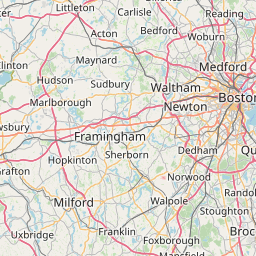
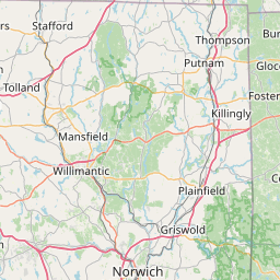
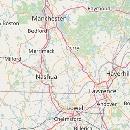
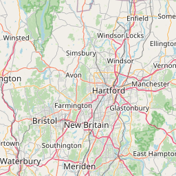
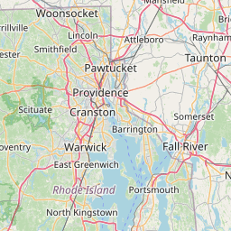
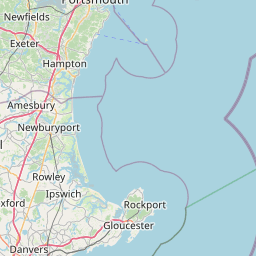
Distance Map Between Ludlow and Lowell
Ludlow, Boston, United States ↔ Lowell, Boston, United States = 68 miles = 109 km.


How far is it between Ludlow and Lowell
Ludlow is located in United States with (42.1601,-72.4759) coordinates and Lowell is located in United States with (42.6334,-71.3162) coordinates. The calculated flying distance from Ludlow to Lowell is equal to 68 miles which is equal to 109 km.
If you want to go by car, the driving distance between Ludlow and Lowell is 137.19 km. If you ride your car with an average speed of 112 kilometers/hour (70 miles/h), travel time will be 01 hours 13 minutes. Please check the avg. speed travel time table on the right for various options.
Difference between fly and go by a car is 28 km.
| City/Place | Latitude and Longitude | GPS Coordinates |
|---|---|---|
| Ludlow | 42.1601, -72.4759 | 42° 9´ 36.3240'' N 72° 28´ 33.3120'' W |
| Lowell | 42.6334, -71.3162 | 42° 38´ 0.3120'' N 71° 18´ 58.2120'' W |
Estimated Travel Time Between Ludlow and Lowell
| Average Speed | Travel Time |
|---|---|
| 30 mph (48 km/h) | 02 hours 51 minutes |
| 40 mph (64 km/h) | 02 hours 08 minutes |
| 50 mph (80 km/h) | 01 hours 42 minutes |
| 60 mph (97 km/h) | 01 hours 24 minutes |
| 70 mph (112 km/h) | 01 hours 13 minutes |
| 75 mph (120 km/h) | 01 hours 08 minutes |
Related Distances from Ludlow
| Cities | Distance |
|---|---|
| Ludlow to Easthampton | 31 km |
| Ludlow to Leominster | 107 km |
| Ludlow to Amherst Center | 28 km |
| Ludlow to Chicopee | 15 km |
| Ludlow to Gloucester 2 | 185 km |
Related Distances to Lowell
| Cities | Distance |
|---|---|
| Boston to Lowell | 50 km |
| Newton to Lowell | 45 km |
| Waltham to Lowell | 36 km |
| Woburn to Lowell | 28 km |
| Lynn to Lowell | 51 km |