Distance from Luoyang to Shantou
Distance between Luoyang and Shantou is 250 kilometers (156 miles).
Driving distance from Luoyang to Shantou is 328 kilometers (204 miles).
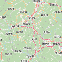
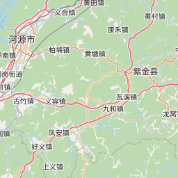
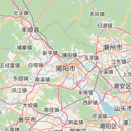
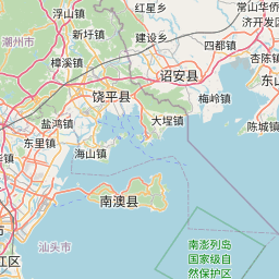
Distance Map Between Luoyang and Shantou
Luoyang, Guangzhou, China ↔ Shantou, Guangzhou, China = 156 miles = 250 km.


How far is it between Luoyang and Shantou
Luoyang is located in China with (23.1624,114.2734) coordinates and Shantou is located in China with (23.3681,116.7148) coordinates. The calculated flying distance from Luoyang to Shantou is equal to 156 miles which is equal to 250 km.
If you want to go by car, the driving distance between Luoyang and Shantou is 327.94 km. If you ride your car with an average speed of 112 kilometers/hour (70 miles/h), travel time will be 02 hours 55 minutes. Please check the avg. speed travel time table on the right for various options.
Difference between fly and go by a car is 78 km.
| City/Place | Latitude and Longitude | GPS Coordinates |
|---|---|---|
| Luoyang | 23.1624, 114.2734 | 23° 9´ 44.7840'' N 114° 16´ 24.3120'' E |
| Shantou | 23.3681, 116.7148 | 23° 22´ 5.3040'' N 116° 42´ 53.2440'' E |
Estimated Travel Time Between Luoyang and Shantou
| Average Speed | Travel Time |
|---|---|
| 30 mph (48 km/h) | 06 hours 49 minutes |
| 40 mph (64 km/h) | 05 hours 07 minutes |
| 50 mph (80 km/h) | 04 hours 05 minutes |
| 60 mph (97 km/h) | 03 hours 22 minutes |
| 70 mph (112 km/h) | 02 hours 55 minutes |
| 75 mph (120 km/h) | 02 hours 43 minutes |
Related Distances from Luoyang
| Cities | Distance |
|---|---|
| Luoyang 2 to Heyuan | 91 km |
| Luoyang 2 to Jieyang | 282 km |
| Luoyang 2 to Maba | 275 km |
| Luoyang 2 to Meizhou | 279 km |
| Luoyang 2 to Nanfeng | 356 km |
| Luoyang 2 to Pingshan | 64 km |
| Luoyang 2 to Qingyuan | 187 km |
| Luoyang 2 to Shantou | 328 km |
| Luoyang 2 to Shanwei | 152 km |
| Luoyang 2 to Shaoguan | 293 km |
Related Distances to Shantou
| Cities | Distance |
|---|---|
| Jiangmen to Shantou | 473 km |
| Huanggang to Shantou | 52 km |
| Maba to Shantou | 617 km |
| Dongguan to Shantou | 383 km |
| Zhongshan to Shantou | 797 km |
| Foshan to Shantou | 463 km |
| Puning to Shantou | 72 km |
| Haimen to Shantou | 33 km |
| Anbu to Shantou | 12 km |
| Meizhou to Shantou | 158 km |