Distance from Lupon to Samal
Distance between Lupon and Samal is 39 kilometers (24 miles).
Driving distance from Lupon to Samal is 120 kilometers (75 miles).
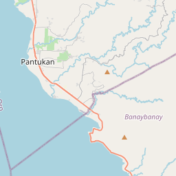
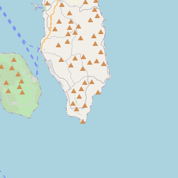
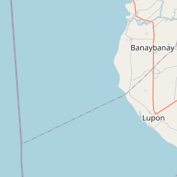
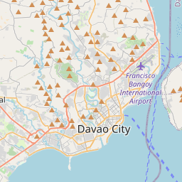
Distance Map Between Lupon and Samal
Lupon, Davao, Philippines ↔ Samal, Davao, Philippines = 24 miles = 39 km.


How far is it between Lupon and Samal
Lupon is located in Philippines with (6.8981,126.0096) coordinates and Samal is located in Philippines with (7.0744,125.7083) coordinates. The calculated flying distance from Lupon to Samal is equal to 24 miles which is equal to 39 km.
If you want to go by car, the driving distance between Lupon and Samal is 120.19 km. If you ride your car with an average speed of 112 kilometers/hour (70 miles/h), travel time will be 01 hours 04 minutes. Please check the avg. speed travel time table on the right for various options.
Difference between fly and go by a car is 81 km.
| City/Place | Latitude and Longitude | GPS Coordinates |
|---|---|---|
| Lupon | 6.8981, 126.0096 | 6° 53´ 53.3040'' N 126° 0´ 34.5960'' E |
| Samal | 7.0744, 125.7083 | 7° 4´ 27.9840'' N 125° 42´ 29.9880'' E |
Estimated Travel Time Between Lupon and Samal
| Average Speed | Travel Time |
|---|---|
| 30 mph (48 km/h) | 02 hours 30 minutes |
| 40 mph (64 km/h) | 01 hours 52 minutes |
| 50 mph (80 km/h) | 01 hours 30 minutes |
| 60 mph (97 km/h) | 01 hours 14 minutes |
| 70 mph (112 km/h) | 01 hours 04 minutes |
| 75 mph (120 km/h) | 01 hours 00 minutes |
Related Distances from Lupon
| Cities | Distance |
|---|---|
| Lupon to Mati | 37 km |
| Lupon to Tagum | 75 km |
| Lupon to Panabo | 89 km |
| Lupon to Nabunturan | 112 km |
| Lupon to Manay | 106 km |
Related Distances to Samal
| Cities | Distance |
|---|---|
| Balanga to Samal 2 | 11 km |
| Orani to Samal 2 | 4 km |
| Mati to Samal | 157 km |
| Panabo to Samal | 33 km |
| Tagum to Samal | 56 km |