Distance from Luton to Witham
Distance between Luton and Witham is 73 kilometers (45 miles).
Driving distance from Luton to Witham is 110 kilometers (68 miles).
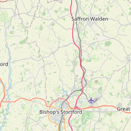
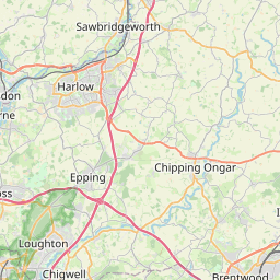
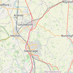
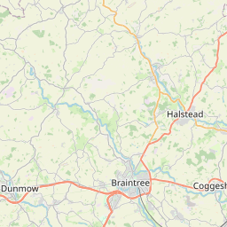
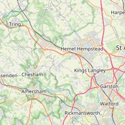
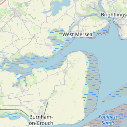
Distance Map Between Luton and Witham
Luton, London, United Kingdom ↔ Witham, London, United Kingdom = 45 miles = 73 km.
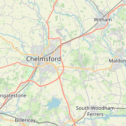
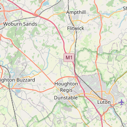

How far is it between Luton and Witham
Luton is located in United Kingdom with (51.8797,-0.4175) coordinates and Witham is located in United Kingdom with (51.8001,0.6404) coordinates. The calculated flying distance from Luton to Witham is equal to 45 miles which is equal to 73 km.
If you want to go by car, the driving distance between Luton and Witham is 109.7 km. If you ride your car with an average speed of 112 kilometers/hour (70 miles/h), travel time will be 00 hours 58 minutes. Please check the avg. speed travel time table on the right for various options.
Difference between fly and go by a car is 37 km.
| City/Place | Latitude and Longitude | GPS Coordinates |
|---|---|---|
| Luton | 51.8797, -0.4175 | 51° 52´ 46.8120'' N 0° 25´ 2.9280'' W |
| Witham | 51.8001, 0.6404 | 51° 48´ 0.2520'' N 0° 38´ 25.3680'' E |
Estimated Travel Time Between Luton and Witham
| Average Speed | Travel Time |
|---|---|
| 30 mph (48 km/h) | 02 hours 17 minutes |
| 40 mph (64 km/h) | 01 hours 42 minutes |
| 50 mph (80 km/h) | 01 hours 22 minutes |
| 60 mph (97 km/h) | 01 hours 07 minutes |
| 70 mph (112 km/h) | 00 hours 58 minutes |
| 75 mph (120 km/h) | 00 hours 54 minutes |
Related Distances from Luton
| Cities | Distance |
|---|---|
| Luton to Manchester | 271 km |
| Luton to Oxford | 109 km |
| Luton to Milton Keynes | 36 km |
| Luton to Reading | 91 km |
| Luton to Northampton | 59 km |
Related Distances to Witham
| Cities | Distance |
|---|---|
| Chelmsford to Witham | 16 km |
| Southend On Sea to Witham | 44 km |
| Basildon to Witham | 42 km |
| Colchester to Witham | 24 km |
| Cambridge to Witham | 81 km |