Distance from Lutuhyne to Minsk
Distance between Lutuhyne and Minsk is 1015 kilometers (631 miles).
Driving distance from Lutuhyne to Minsk is 1329 kilometers (826 miles).
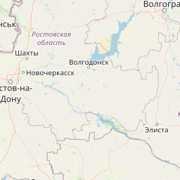
Distance Map Between Lutuhyne and Minsk
Lutuhyne, Luhansk, Ukraine ↔ Minsk, Belarus = 631 miles = 1015 km.


How far is it between Lutuhyne and Minsk
Lutuhyne is located in Ukraine with (48.4051,39.2268) coordinates and Minsk is located in Belarus with (53.9,27.5667) coordinates. The calculated flying distance from Lutuhyne to Minsk is equal to 631 miles which is equal to 1015 km.
If you want to go by car, the driving distance between Lutuhyne and Minsk is 1328.66 km. If you ride your car with an average speed of 112 kilometers/hour (70 miles/h), travel time will be 11 hours 51 minutes. Please check the avg. speed travel time table on the right for various options.
Difference between fly and go by a car is 314 km.
| City/Place | Latitude and Longitude | GPS Coordinates |
|---|---|---|
| Lutuhyne | 48.4051, 39.2268 | 48° 24´ 18.2520'' N 39° 13´ 36.3000'' E |
| Minsk | 53.9, 27.5667 | 53° 53´ 60.0000'' N 27° 34´ 0.0120'' E |
Estimated Travel Time Between Lutuhyne and Minsk
| Average Speed | Travel Time |
|---|---|
| 30 mph (48 km/h) | 27 hours 40 minutes |
| 40 mph (64 km/h) | 20 hours 45 minutes |
| 50 mph (80 km/h) | 16 hours 36 minutes |
| 60 mph (97 km/h) | 13 hours 41 minutes |
| 70 mph (112 km/h) | 11 hours 51 minutes |
| 75 mph (120 km/h) | 11 hours 04 minutes |
Related Distances to Minsk
| Cities | Distance |
|---|---|
| Kiev to Minsk | 529 km |
| Odessa to Minsk | 1001 km |
| Kharkiv to Minsk | 969 km |
| Zhytomyr to Minsk | 510 km |
| Ternopil to Minsk | 671 km |