Distance from Lutz to Cape Coral
Distance between Lutz and Cape Coral is 184 kilometers (114 miles).
Driving distance from Lutz to Cape Coral is 233 kilometers (145 miles).
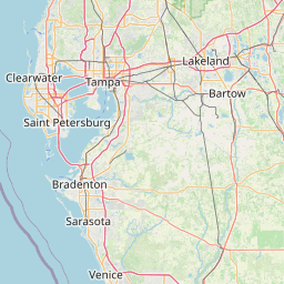
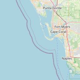
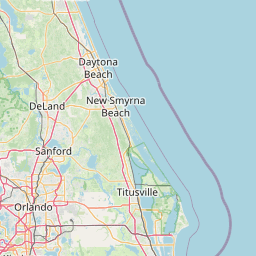
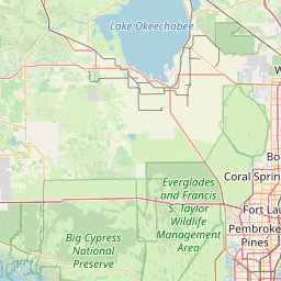
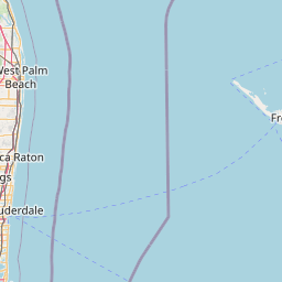
Distance Map Between Lutz and Cape Coral
Lutz, Tallahassee, United States ↔ Cape Coral, Tallahassee, United States = 114 miles = 184 km.


How far is it between Lutz and Cape Coral
Lutz is located in United States with (28.1511,-82.4615) coordinates and Cape Coral is located in United States with (26.5629,-81.9495) coordinates. The calculated flying distance from Lutz to Cape Coral is equal to 114 miles which is equal to 184 km.
If you want to go by car, the driving distance between Lutz and Cape Coral is 233.25 km. If you ride your car with an average speed of 112 kilometers/hour (70 miles/h), travel time will be 02 hours 04 minutes. Please check the avg. speed travel time table on the right for various options.
Difference between fly and go by a car is 49 km.
| City/Place | Latitude and Longitude | GPS Coordinates |
|---|---|---|
| Lutz | 28.1511, -82.4615 | 28° 9´ 4.0320'' N 82° 27´ 41.3280'' W |
| Cape Coral | 26.5629, -81.9495 | 26° 33´ 46.2600'' N 81° 56´ 58.3080'' W |
Estimated Travel Time Between Lutz and Cape Coral
| Average Speed | Travel Time |
|---|---|
| 30 mph (48 km/h) | 04 hours 51 minutes |
| 40 mph (64 km/h) | 03 hours 38 minutes |
| 50 mph (80 km/h) | 02 hours 54 minutes |
| 60 mph (97 km/h) | 02 hours 24 minutes |
| 70 mph (112 km/h) | 02 hours 04 minutes |
| 75 mph (120 km/h) | 01 hours 56 minutes |
Related Distances from Lutz
| Cities | Distance |
|---|---|
| Lutz to Allapattah | 468 km |
| Lutz to Altamonte Springs | 170 km |
| Lutz to Apopka | 172 km |
| Lutz to Aventura | 462 km |
| Lutz to Boca Raton | 387 km |
| Lutz to Boynton Beach | 366 km |
| Lutz to Bradenton | 94 km |
| Lutz to Brandon | 46 km |
| Lutz to Cape Coral | 233 km |
| Lutz to Carol City | 452 km |
Related Distances to Cape Coral
| Cities | Distance |
|---|---|
| Orlando to Cape Coral | 327 km |
| Carol City to Cape Coral | 232 km |
| Port Charlotte to Cape Coral | 55 km |
| Wellington 2 to Cape Coral | 201 km |
| Hallandale Beach to Cape Coral | 231 km |
| Pompano Beach to Cape Coral | 237 km |
| Homestead to Cape Coral | 285 km |
| Miramar to Cape Coral | 231 km |
| Ruskin to Cape Coral | 178 km |
| Palm Beach Gardens to Cape Coral | 225 km |