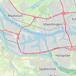
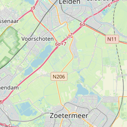
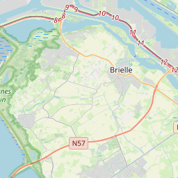
Distance from Maassluis to The Hague
Distance between Maassluis and The Hague is 17 kilometers (11 miles).
Driving distance from Maassluis to The Hague is 30 kilometers (19 miles).
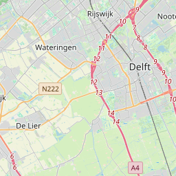
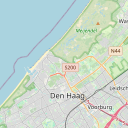
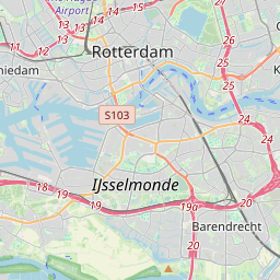
Distance Map Between Maassluis and The Hague
Maassluis, , Netherlands ↔ The Hague, , Netherlands = 11 miles = 17 km.


How far is it between Maassluis and The Hague
Maassluis is located in Netherlands with (51.9233,4.25) coordinates and The Hague is located in Netherlands with (52.0767,4.2986) coordinates. The calculated flying distance from Maassluis to The Hague is equal to 11 miles which is equal to 17 km.
If you want to go by car, the driving distance between Maassluis and The Hague is 29.78 km. If you ride your car with an average speed of 112 kilometers/hour (70 miles/h), travel time will be 00 hours 15 minutes. Please check the avg. speed travel time table on the right for various options.
Difference between fly and go by a car is 13 km.
| City/Place | Latitude and Longitude | GPS Coordinates |
|---|---|---|
| Maassluis | 51.9233, 4.25 | 51° 55´ 23.9880'' N 4° 15´ 0.0000'' E |
| The Hague | 52.0767, 4.2986 | 52° 4´ 36.0120'' N 4° 17´ 54.9960'' E |
Estimated Travel Time Between Maassluis and The Hague
| Average Speed | Travel Time |
|---|---|
| 30 mph (48 km/h) | 00 hours 37 minutes |
| 40 mph (64 km/h) | 00 hours 27 minutes |
| 50 mph (80 km/h) | 00 hours 22 minutes |
| 60 mph (97 km/h) | 00 hours 18 minutes |
| 70 mph (112 km/h) | 00 hours 15 minutes |
| 75 mph (120 km/h) | 00 hours 14 minutes |
Related Distances from Maassluis
| Cities | Distance |
|---|---|
| Maassluis to Rotterdam | 20 km |
| Maassluis to Schiedam | 14 km |
| Maassluis to Vlaardingen | 8 km |
| Maassluis to The Hague | 30 km |
| Maassluis to Wassenaar | 40 km |
Related Distances to The Hague
| Cities | Distance |
|---|---|
| Rotterdam to The Hague | 27 km |
| Leiden to The Hague | 22 km |
| Delft to The Hague | 11 km |
| Gouda to The Hague | 34 km |
| Rijswijk to The Hague | 6 km |